
Certificate in Geomatics
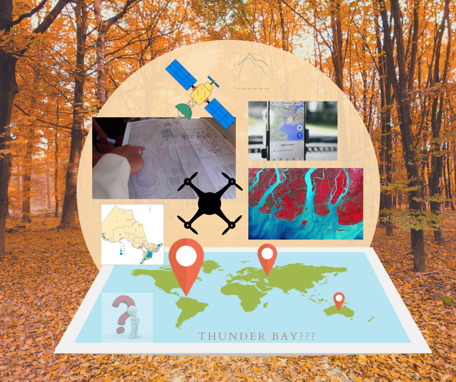
An introduction to the fundamental principles and techniques that comprise the field of geomatics, especially Geographic Information Systems (GIS). Topics include the collection and visualization of geographical data through satellite images, aerial photo graphs, Remotely Piloted Aircraft Systems, LiDAR, field cameras, field samples etc., database construction and manipulation, and exposure to state-of-the-art technologies. Link to the program for more details: Certificate in Geomatics
Required Course:
GEOG 2232 Introduction to GIS & Geomatics
GEOG 2215 Earth Observation & Analysis
GEOG 4231 Remote Sensing
GEOG 4211 Advanced GIS & Spatial Analysis
GEOG 3253 Cartography
Dr. Heenkenda is teaching the following courses:
GEOG 2232 Introduction to Geomatics and GIS
Introduction to GIS & Geomatics is an introduction to applied mapping and GIS theory and applications. Emphasis will be placed on understanding how geospatial features are represented and captured as data and how these data can be managed, analyzed and presented using state-of-the-art GIS tools. The course will also be focused on introducing basic uses of remotely sensed imagery and exploring applied mapping technologies, including Google Earth and Internet Mapping websites. Hands-on expertise will be developed with ESRI’s ArcGIS desktop software.
GEOG 2215 Earth Observation & Analysis
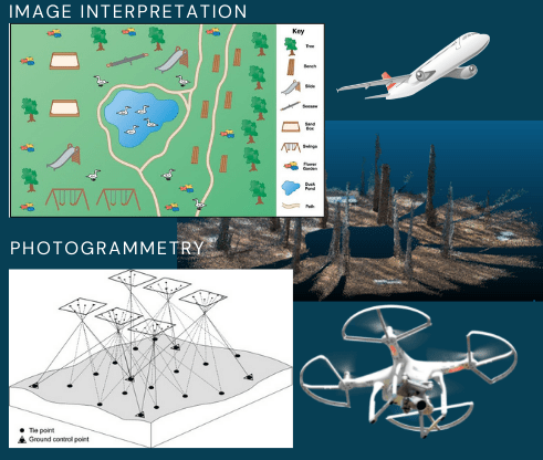
Earth Observation and Analysis course will introduce fundamentals of photogrammetry including vertical and oblique photography, photo scale, mission planning, photo interpretation and stereo vision. Students become familiar with the basic image interpretation principles and aerial photography applications. The state-of-the-art remote sensing techniques such as stereo image acquisition, Remotely Piloted Aircraft Systems (RPAS) and LiDAR remote sensing will also be explored within this course.
GEOG 4231 Remote Sensing
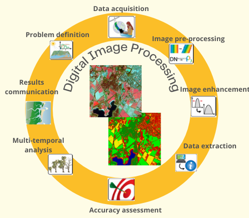
Remote Sensing course will introduce the fundamentals of the basic physical principle of remote sensing. The course is designed to stimulate the current remote sensing activities in natural resource management. Students become familiar with the basic image processing techniques for image pre-processing and data extraction. The lab exercises include many commonly used digital image processing tasks and utilization of ENVI software. A term paper will be introduced for allowing the opportunity to increase students’ knowledge on a specific application of remote sensing technology.
GEOG 4211 Advanced GIS & Spatial Analysis
Advanced GIS and Spatial Analysis is an advanced course in applications of GIS and spatial analysis. The first part of the course will introduce advanced spatial analysis techniques such as spatial interpolation, watershed analysis, spatial pattern analysis and network analysis. Students have an opportunity to apply acquired skills to three real-world applications. A range of data sources and GIS methods including spatial analysis of some kind will include in each application. Students will develop not only GIS skills but also project management and presentation skills by completing steps required to take a GIS project from the initial planning to final map production and presentation.
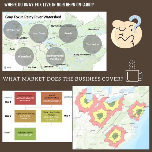
Some student projects
