Introdcution to LiDAR
Dr. Muditha Heenkenda
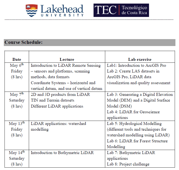
Friday May 6, 2022
This is the link to all course materials.
Lecture 01 – Course Introduction
This short lecture is to introduce myself, my research lab and the course curriculum.
Lecture 02 – Introduction to LiDAR
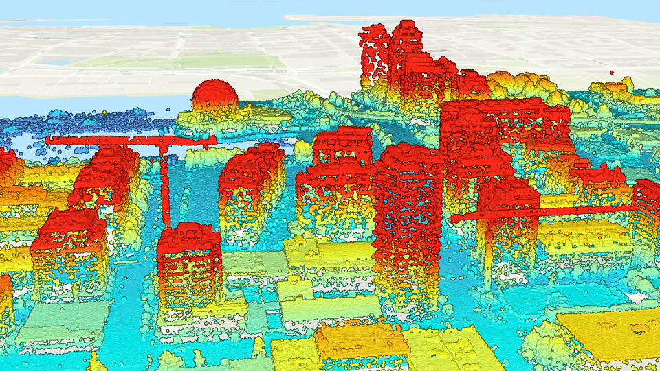
This lecture is to introduce basics of LiDAR: what is LiDAR, its data formats, sensors, platforms and ASPRS standards etc.
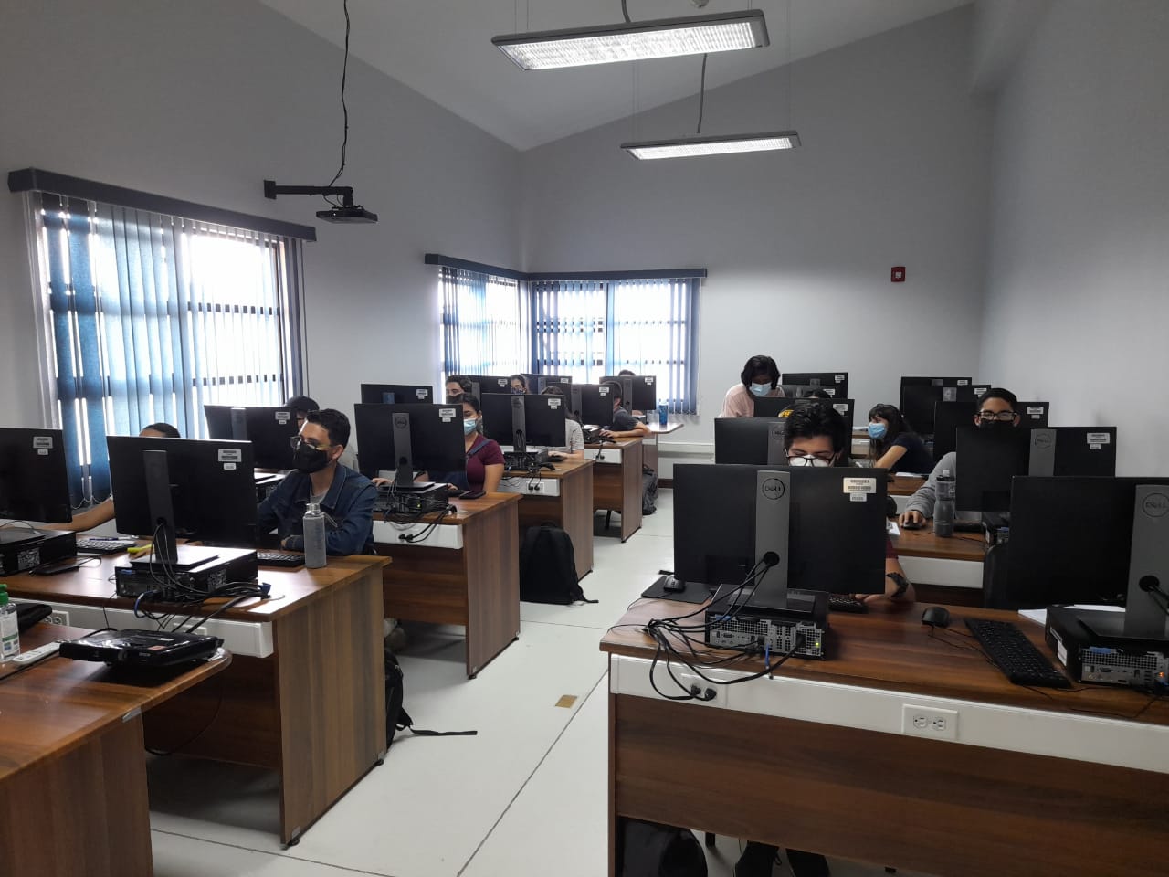
Lab 1: Introduction to ArcGIS Pro
This lab introduces the basic tools and functions of ArcGIS Pro software.
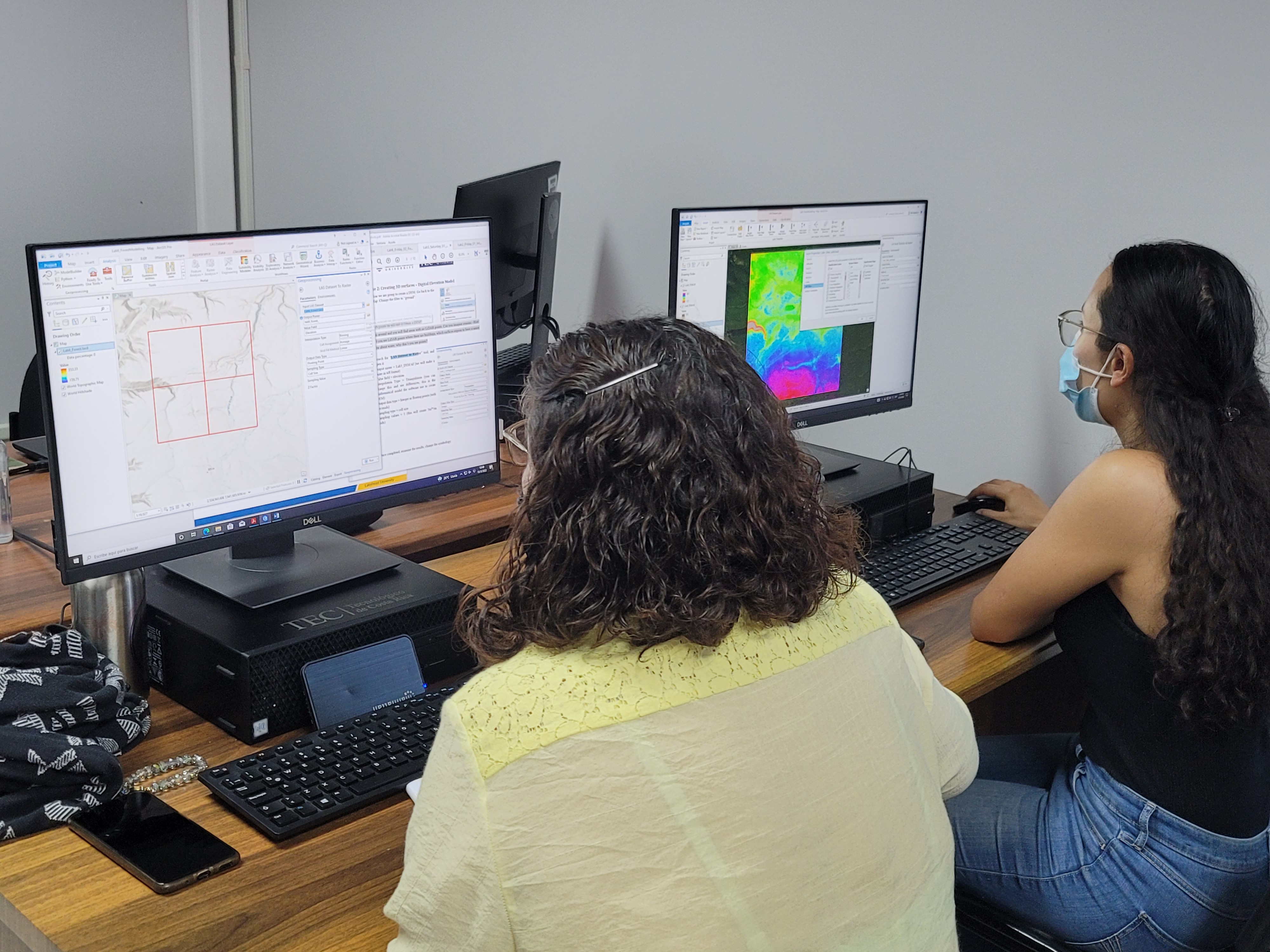
Lab 2: Introduction to LiDAR using ArcGIS Pro
This lab shows how to add LiDAR point cloud to ArcGIS Pro and create a LAS Dataset, quality controlling and basic data visualization techniques.
Saturday May 7, 2022
Lecture 03: Creating 2D/3D products from LiDAR
This lecture will introduce basic characteristics of DEM & DSM, CHM and 3D terrain data formats that can be created from LiDAR and visualization.
Lecture 4: Introduction to LiDAR Applications
Examples of different applications using LiDAR
Lab 3: Generating 2D/3D products from LiDAR
This lab explores how to generate DEM, DSM, CHM and extract building footprints from LiDAR.
Lab 4: LiDAR Geo-science applications
This lab calculates the sand dune movements, sand deposition and erosion in a coast after a severe hurricane.
Friday May 13, 2022
Lecture 05 – Watershed Modelling using LiDAR
This is to introduce the watershed modelling workflow in ArcGIS Pro.
Lab 5: Watershed Modelling
This lab will follow complete area based workflow for watershed modelling (by generating flow direction, flow accumulation, stream network and stream link rasters).
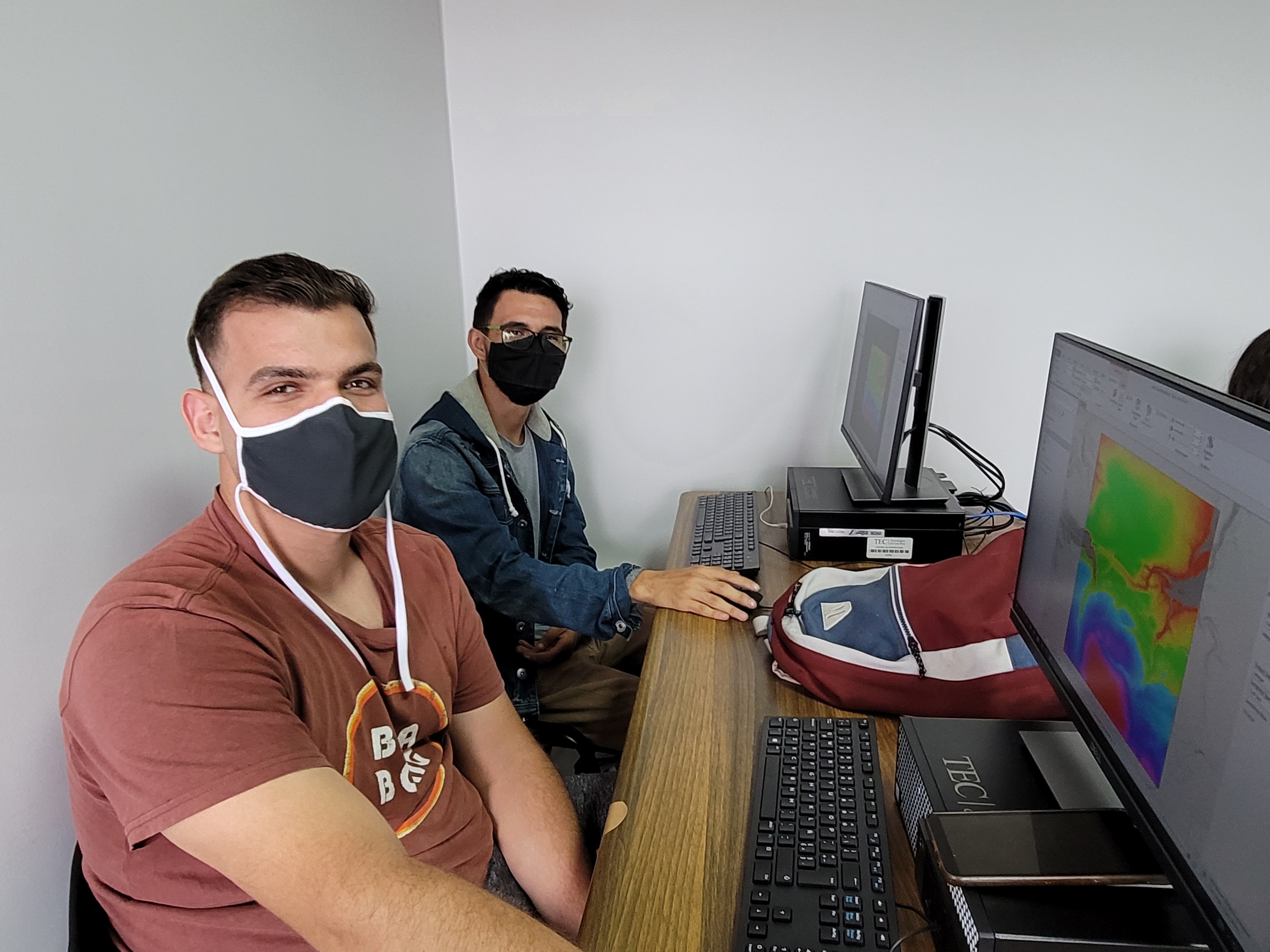
Lab 6: LiDAR for Forest Structure Modelling
Forestry is another widely used LiDAR application. The lab will create canopy height models, calculate vegetation heights and vegetation density in a forestry area to model the forest structure.
Saturday May 14, 2022
Lecture 06: Introduction to Bathymetric LiDAR
So far, we talked about topographic LiDAR and this will introduce bathymetric LiDAR, data formats, standards etc.
Lab 7: Introduction to Bathymetric LiDAR
This lab explore classification standards of bathymetric LiDAR and create a river topography.
Lab 8: Final Project
This is a group project to create a topographic map of the given area. Students will present their results to the class at the end of the day.