Review (Introduction to GIS, RS & Coordinate Systems)
This series of videos were prepared as part of the Faculty Mobility for Partnership Building Program (Global Affairs Canada). I was lucky to be one of the Canadian faculty members who received the Faculty Mobility for Partnership Building Program grant in 2022. My partner institute is the School of Agricultural Engineering, Tecnologico de Costa Rica, Costa Rica (TEC). The main purpose of this grant is to develop a new partnership or strengthen existing partnership through short-term teaching and research activities at the undergraduate and graduate levels.
The Faculty Mobility for Partnership Building Program details can be found here (https://www.educanada.ca/scholarships-bourses/can/institutions/elap_faculty-pfla_professeurs.aspx?lang=eng).
I will conduct a workshop on “Introduction of Light Detection and Ranging (LiDAR)” for four days at TEC, Costa Rica. This is part of the TEC’s “Introduction to Geographic Information Systems” regular undergraduate course and will be open to students, faculty and interested industry partners in Costa Rica. To facilitate the attendance of faculty and industry professionals, the course will be scheduled for two Saturdays (8hrs/day) and two weekdays (8hrs/day). The course will provide 20 students with a strong background in topographic LiDAR and bathymetric LiDAR. Students will master the basic skills of LiDAR needed to leverage the commercial LiDAR sources and information products in a broad range of applications including deriving 2D and 3D products from LiDAR, watershed modelling, and sediment transportation. The course includes both lectures and hands-on exercises.
Learning Outcomes:
1. infer the principles of LiDAR remote sensing, including different sensors and platforms;
2. describe basic steps for visualizing, quality checking and analyzing LiDAR data;
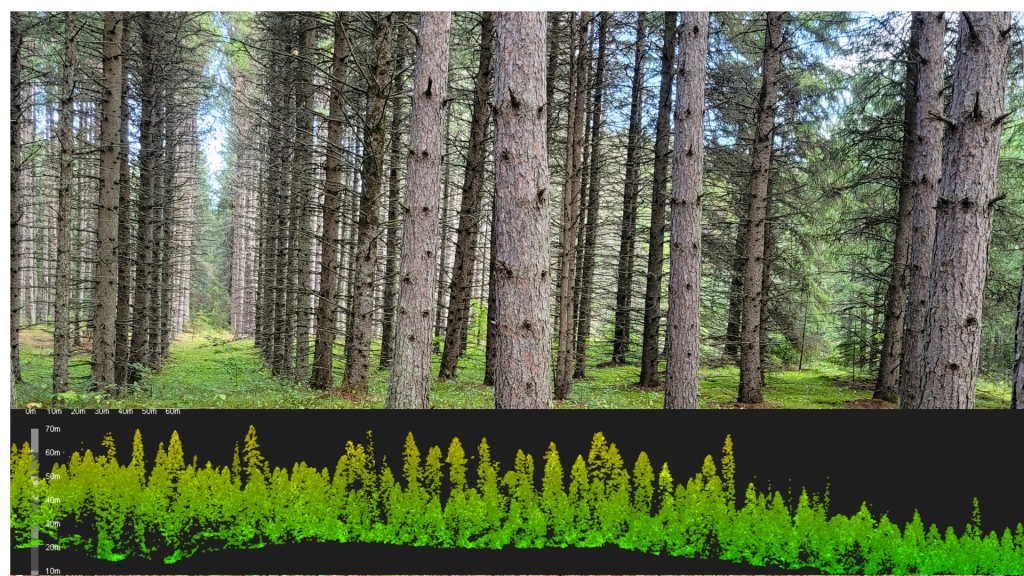
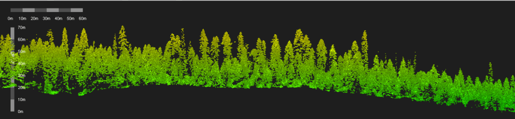
3. derive 3D surfaces – Digital Elevation Models (DEM), Digital Surface Models (DSM), canopy height models, Triangular Irregular Network (TIN) and Terrain datasets;
4. develop a workflow for watershed delineation using LiDAR;
5. understand topo-bathymetric LiDAR concept, ASPRS specifications and process sample data to map river topography ; and
5. apply acquired knowledge and critical thinking skills to solve real-world problems with appropriate LiDAR data processing and analysis methods.
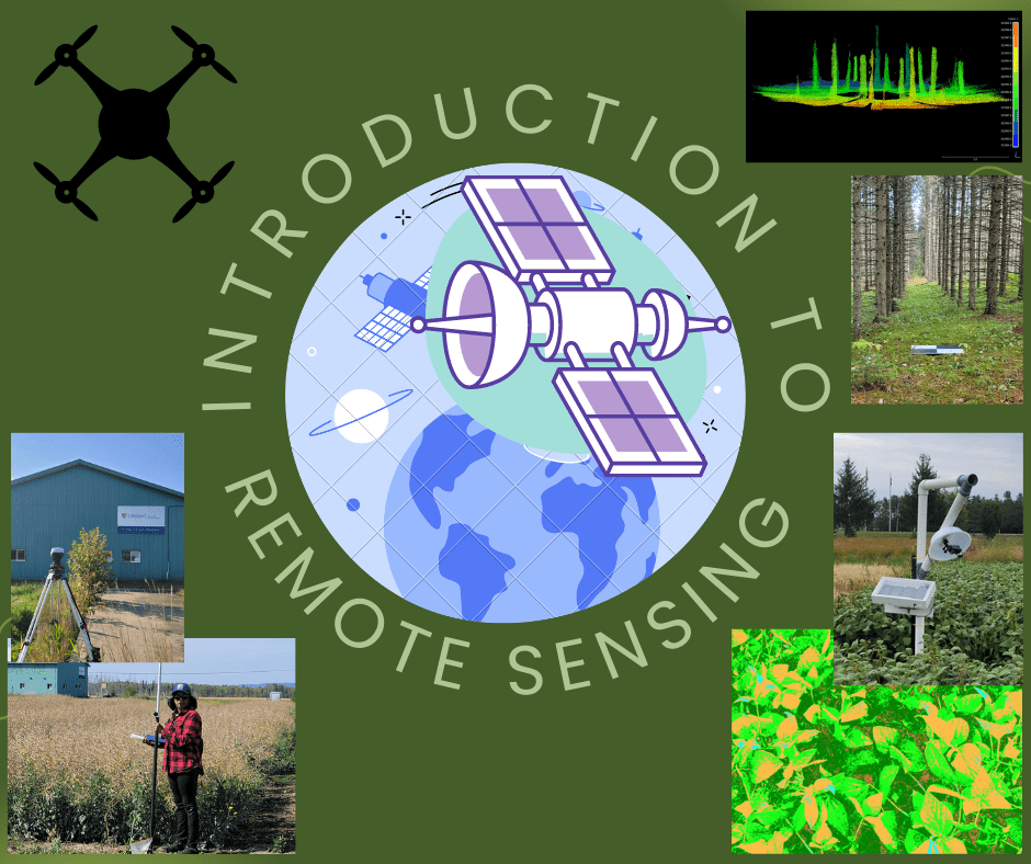
If you are not familiar with GIS basic concepts and terms, there are three videos for reviewing (Introduction to Geographic Information System (GIS), Remote Sensing and Coordinate Systems). The fourth video introduces ArcGIS Pro software for students.
This short video introduces you about GIS, its components and vector and raster data models.

This short video introduces basics of remote sensing including a brief description about an electromagnetic spectrum.
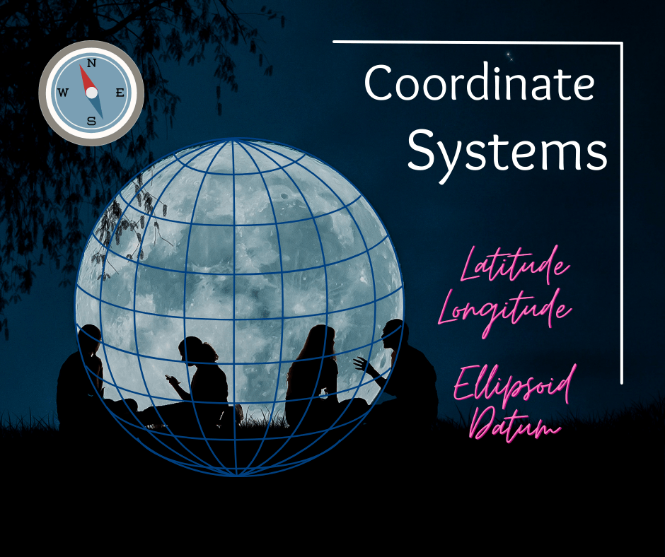
This video reviews coordinate systems: geographic and projected coordinate systems. There is a brief description about vertical coordinate systems as vertical coordinate systems are very important in the context of LiDAR.
Once you reviewed above videos, you are ready to start the LiDAR course. We will use ArcGIS Pro software for LiDAR data manipulation. If you are not familiar with ArcGIS Pro, please review this video as well.

Congratulations!! Now you are ready to start the Introduction to LiDAR course. See you in the class. However, all the materials are available in the next page: Short Courses (2)
If you need more information about undergrad or grad programs at Lakehead University please refer our website: https://www.lakeheadu.ca/programs
If you are interested in geomatics research please contact me.
