Lakehead Applied Geomatics Research Laboratory
We focus on applications of Remote Sensing and Geographic Information Systems (GIS) technologies to solve real-world problems. We would like to do hands-on research with industry, startups and community organizations to develop practical solutions for their challenges and to be unique in the field of geomatics.
Discover Unlimited Capacity
The Lakehead Applied Geomatics Research Laboratory focuses on applications of geospatial technologies such as Remote Sensing and Geographic Information Systems (GIS) to environmental problem solving, agriculture, wildfire mapping and monitoring, climate change, social and health sciences research. We are equipped with state-of-the-art hardware and software.
Our laboratory
The laboratory is based in the Department of Geography and the Environment at the Lakehead University, Thunder Bay campus. The laboratory is headed by Dr. Muditha Heenkenda. Her group consists of undergraduate and graduate students, visiting students, and GIS technicians/research associates from a range of interdisciplinary backgrounds who are committed to developing innovative research in the areas of GIS, remote sensing, and spatial analysis that address pressing social and environmental issues in Canada and beyond.
News & Updates
Graduate Student Opportunity
We seek a highly motivated and research-driven student with a background in Remote Sensing, Computer Science, Mechatronics (robotics), Geographic Information Systems (GIS) or a related field for a Master of Environmental Studies program beginning September 2024.
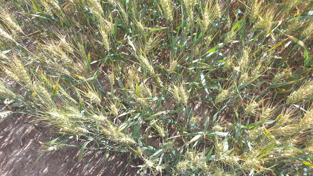
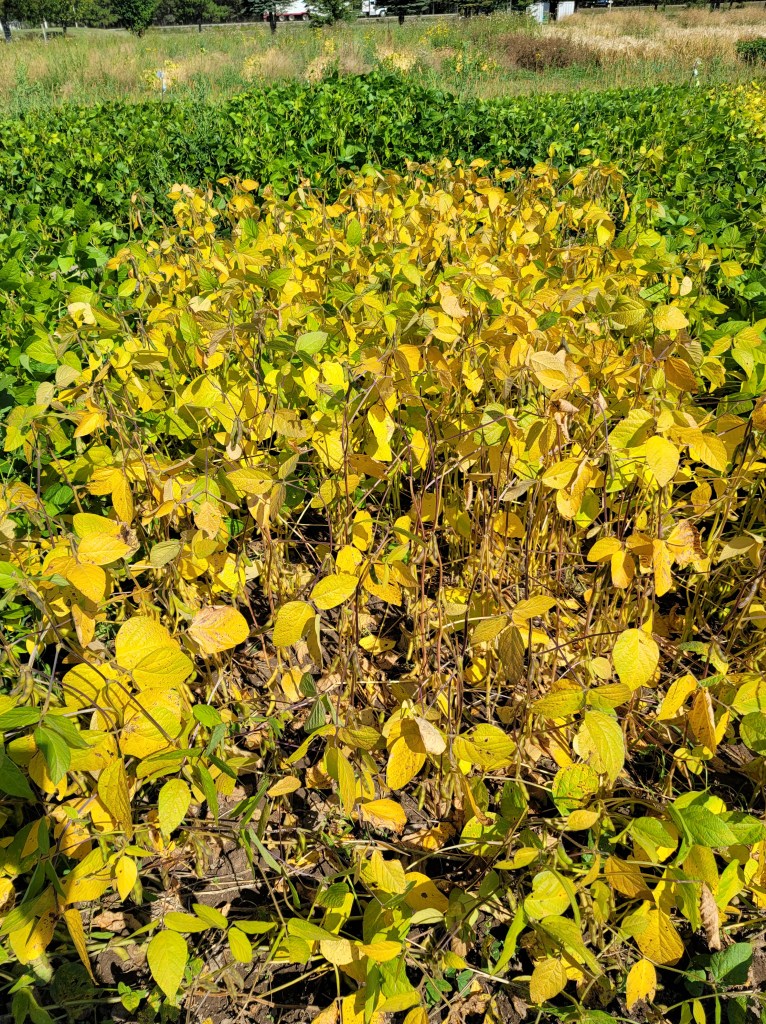
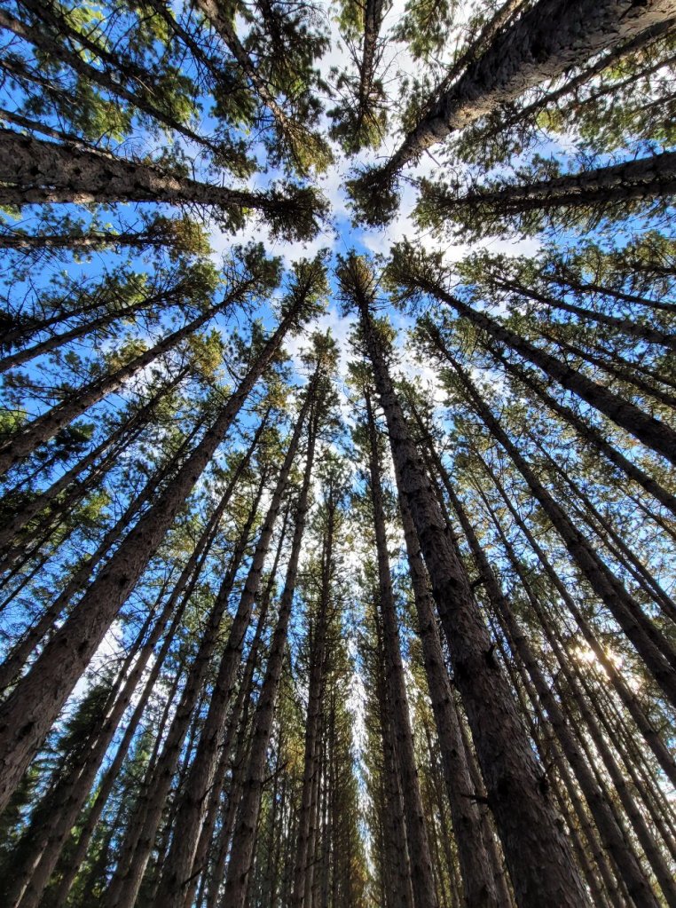
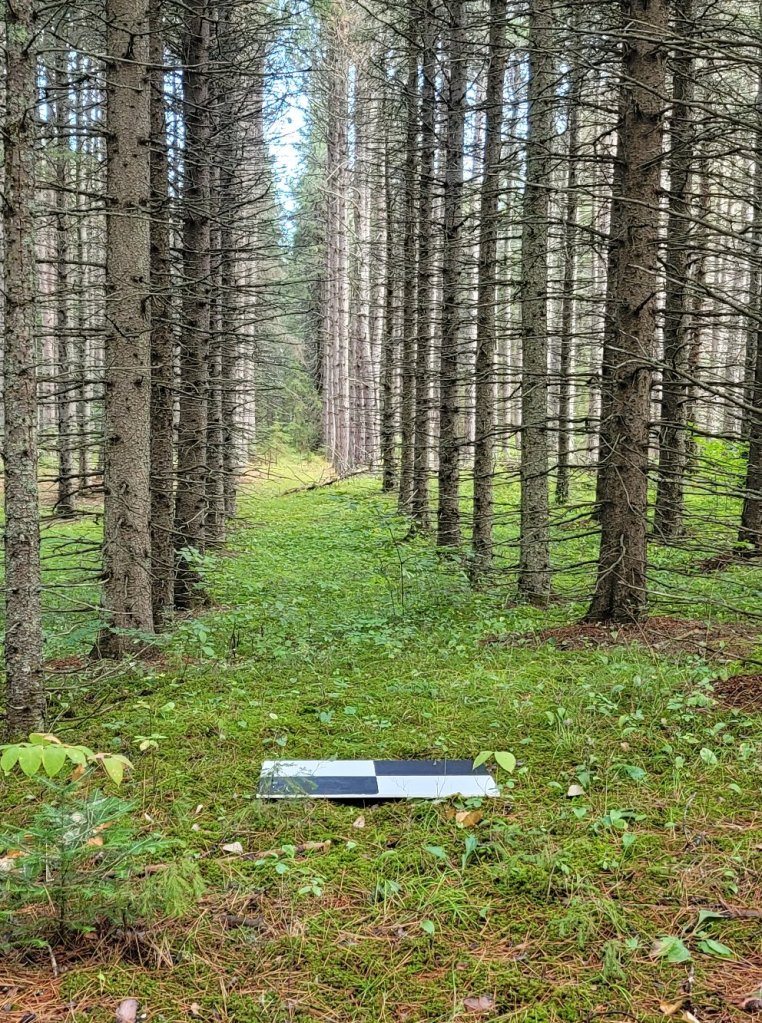
Project: Digital agriculture: Non-destructive Phenotyping and Disease Symptom Monitoring using Remote Sensing
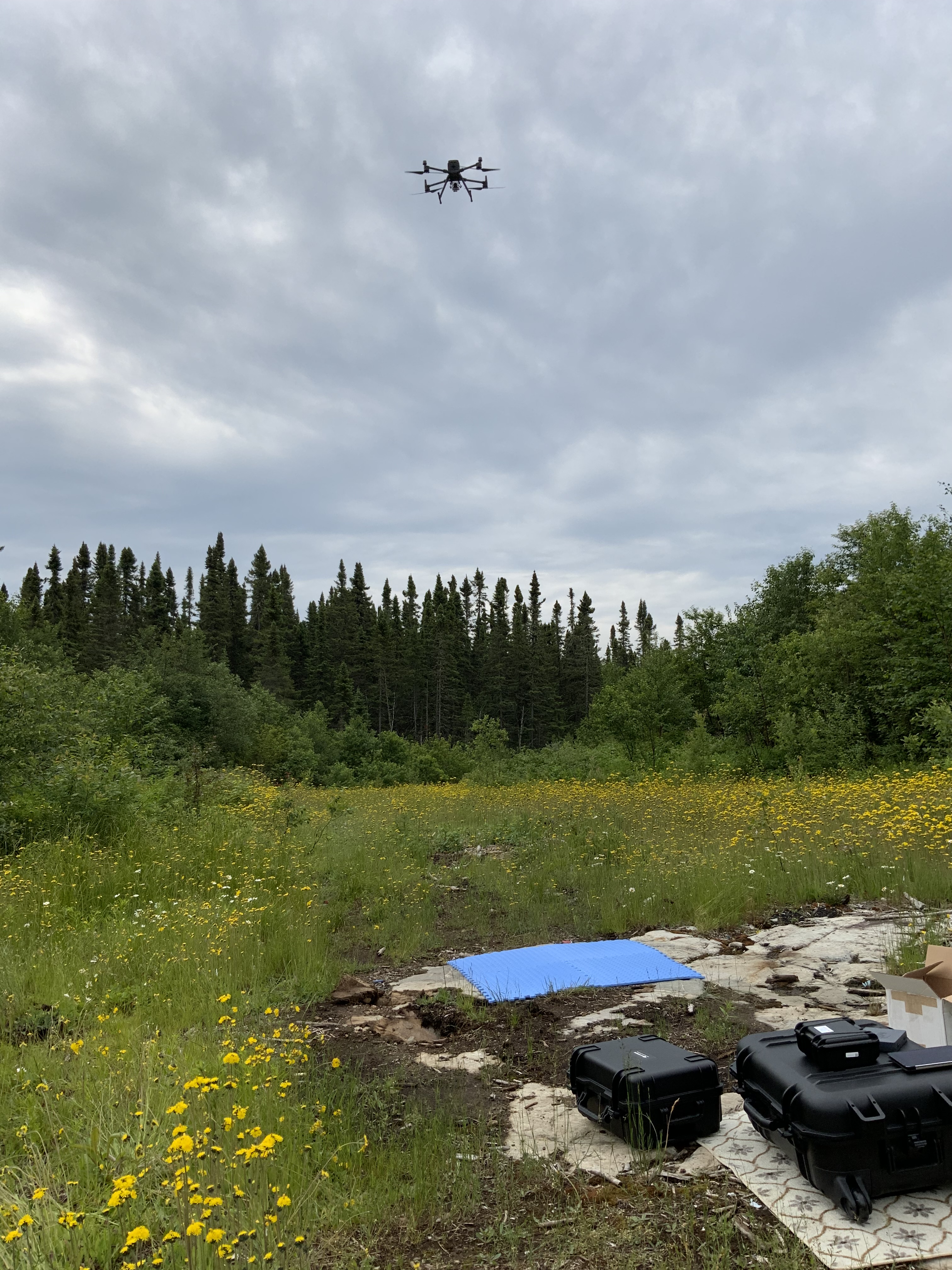
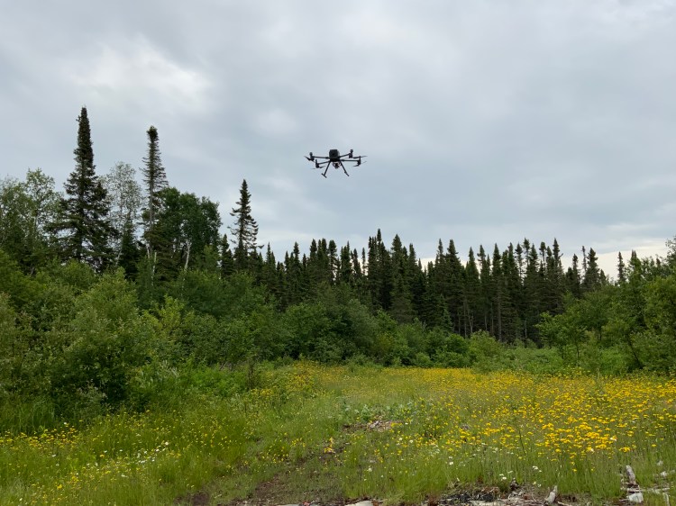
A transition towards sustainable crop production depends on reliable information. As traditional monitoring methods are time- and cost-consuming, this project proposes an autonomous robotic monitoring system that uses remote sensors to deliver farmers robust phenotypic information and 3D plot views, enabling variable-rate input applications and proactive crop management. This MES student project aims to design and build a prototype autonomous robotic system that moves two cameras over a farm plot to acquire vertical stereo images and create three-dimensional photogrammetric models of the farm plot. The student will also perform trial imaging and image analysis for plant phenotyping. The student will be trained to support a multi-stakeholder environment through engagement with Mechanical Engineering, Computer Science and Geomatics and apply strategies that improve communication with different audiences through collaboration, public speaking, presentations, and technical writing.
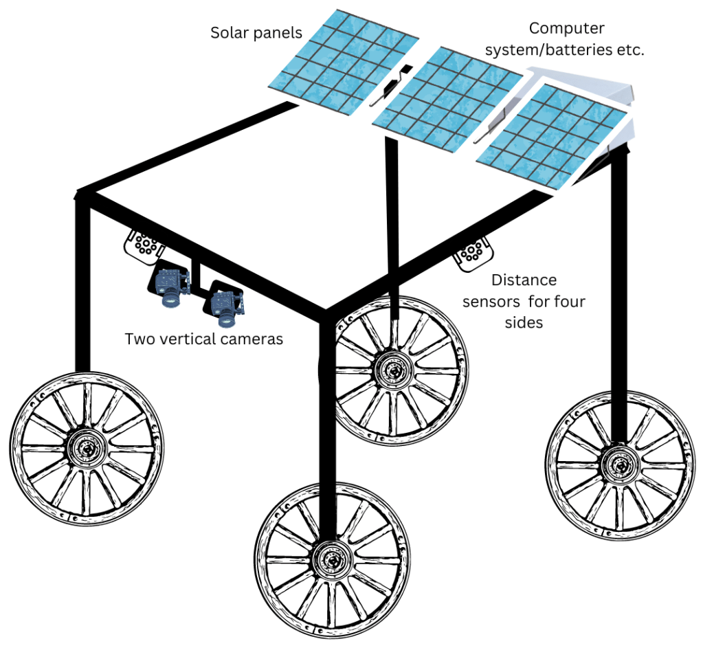
The potential MES student should have the following experience/skills: Remote Sensing image processing skills; Computer programming in the Linux environment; Hands-on experience with designing/building structures (robotic system frame), fixing different sensors and testing; Experience with developing robotic systems would be an asset
Funding will include a stipend of $10,000 per year for two years, conference travel, and publication assistance. Additional financing may be available for domestic students in the form of Graduate Assistantships and summer fieldwork.
Applicants should submit a CV, transcript, short cover letter and two references to Dr. Muditha Heenkenda (muditha.heenkenda@lakeheadu.ca).
The successful applicant will be invited to apply to the MES Program (https://www.lakeheadu.ca/programs/graduate/programs/masters/environmental-studies-northern/node/7266).
Past stories
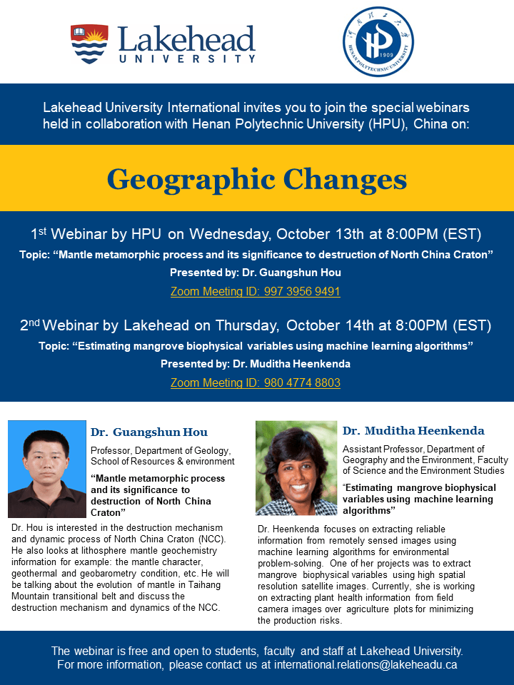
Joint webinar series between Lakehead University, Canada and Henan Polytechnic University, China
Contact US
Department of Geography & the Environmental
Faculty of Science and Environment Studies,
955 Oliver Road
Thunder Bay, Ontario
Canada P7B 5E1
Tel: +1 807 343 8010 (ext. 8746)
E-mail: muditha.heenkenda@lakeheadu.ca
Dr. Heenkenda’s Office:
Regional Centre (RC), Room 2006E
