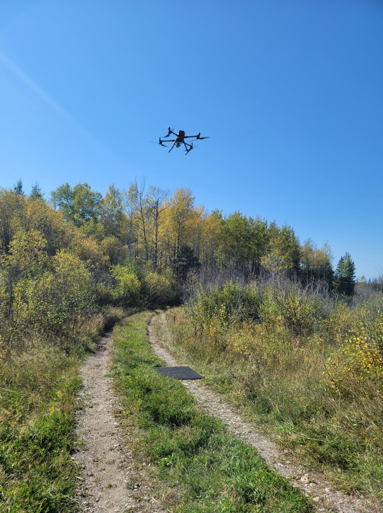
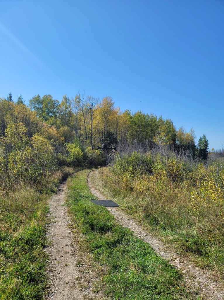
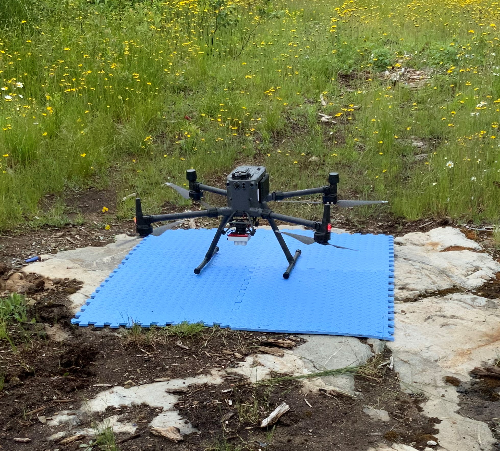
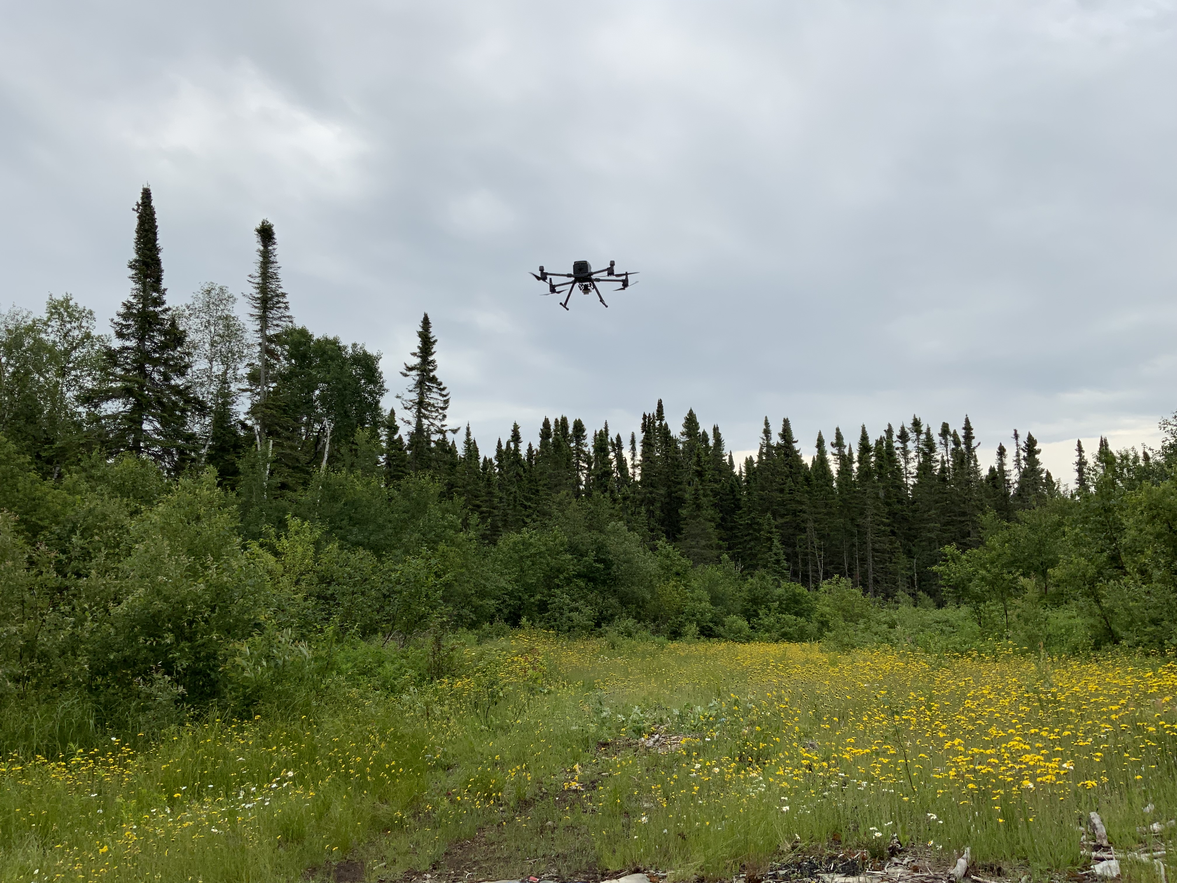
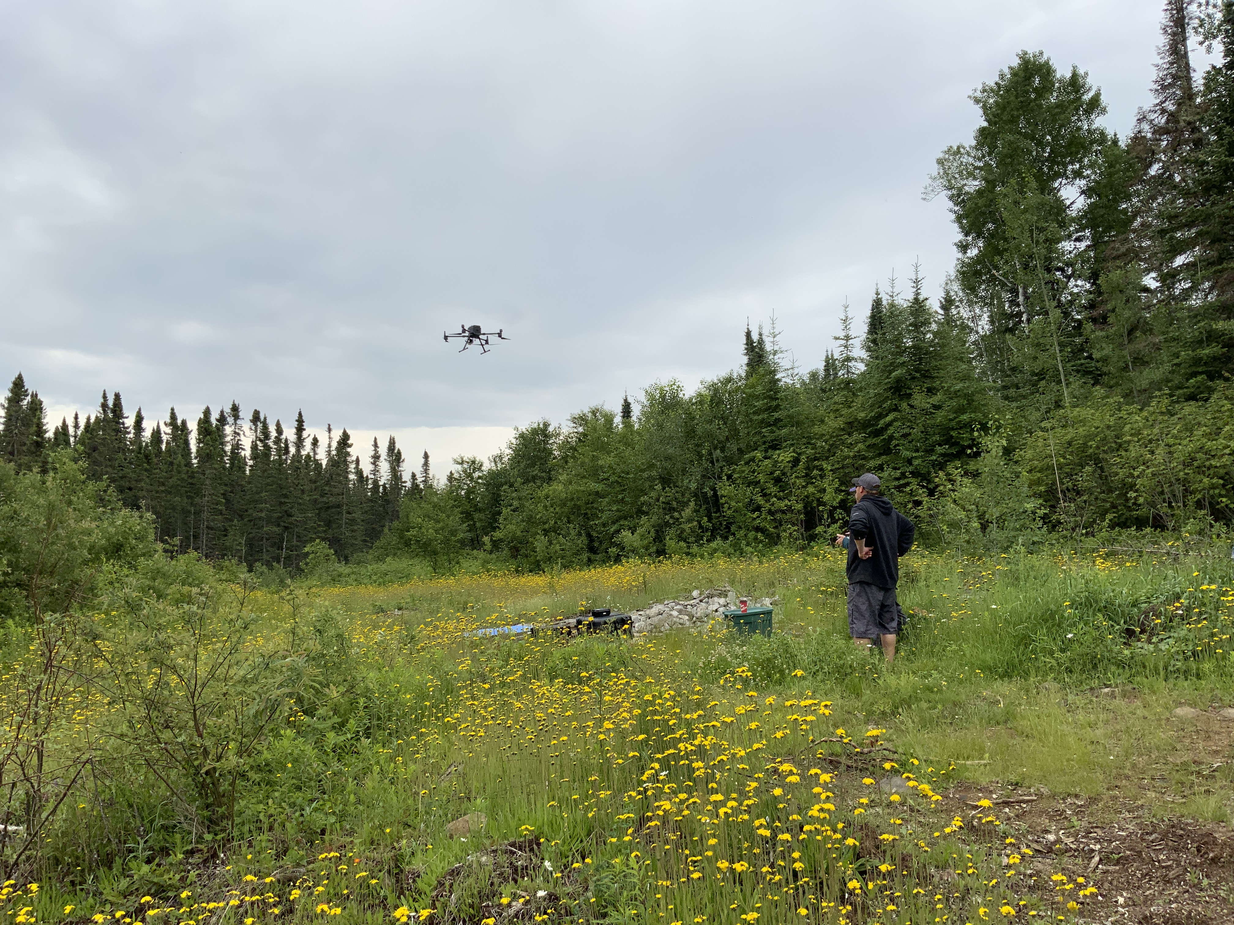
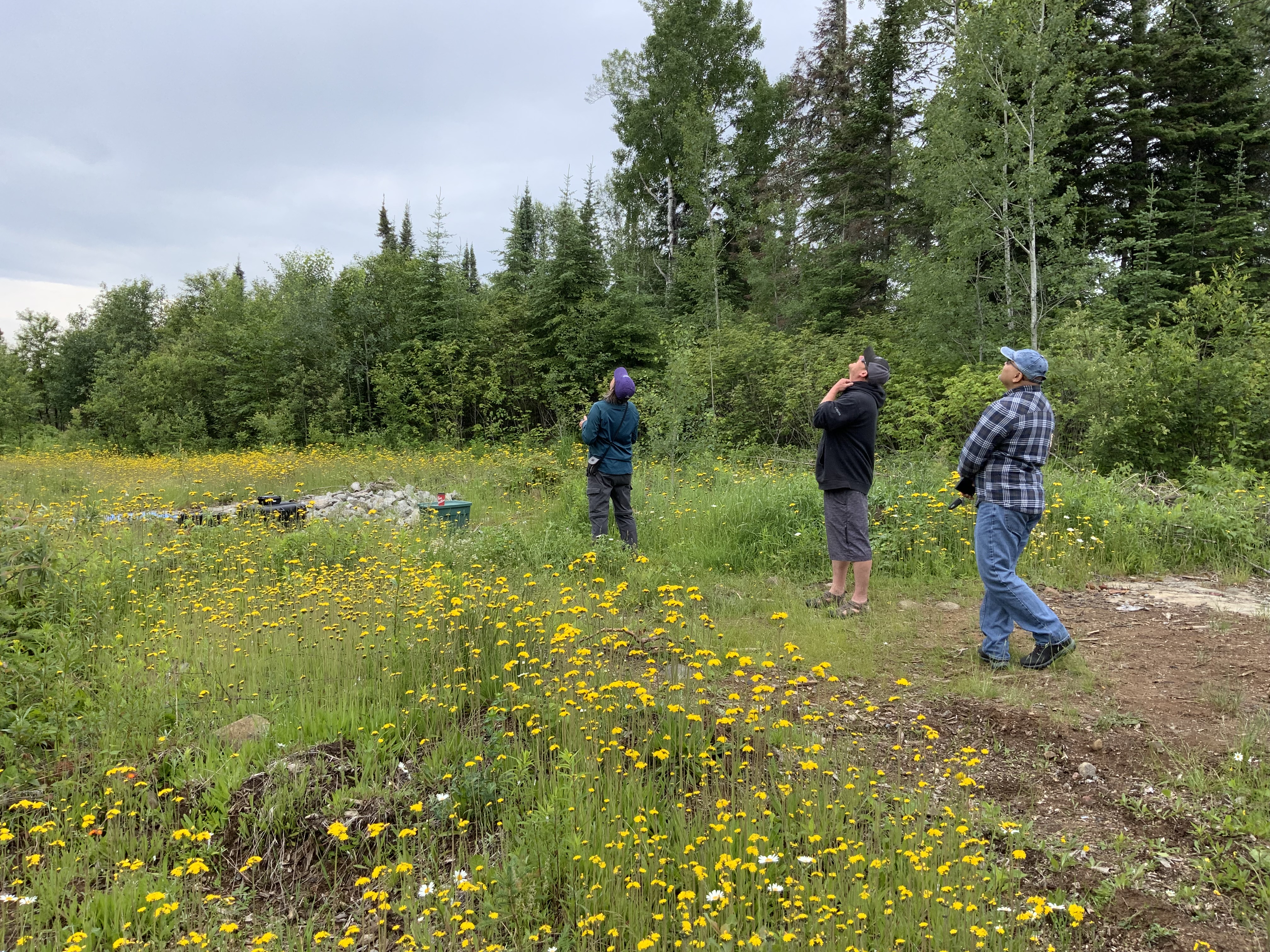
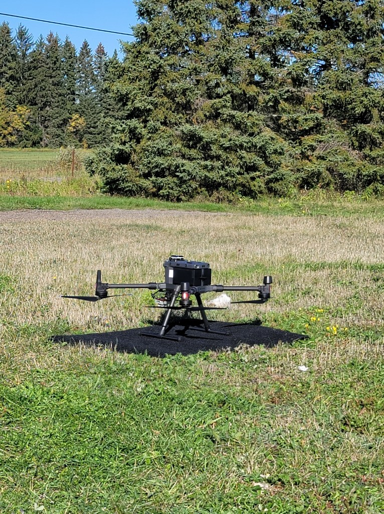
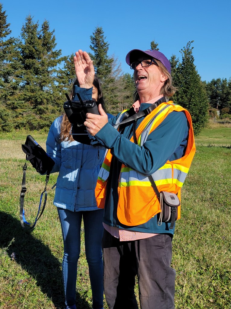
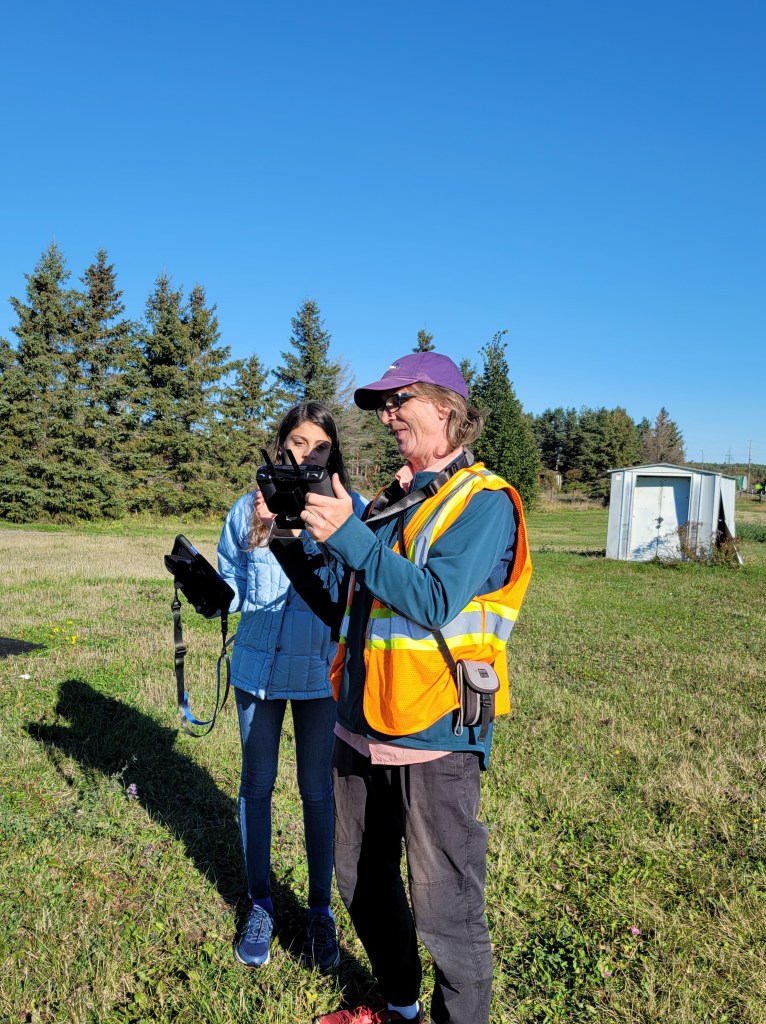
Our first test flight
Here, we are testing our new toy DJI M300 drone with MicaSense RedEdge MX camera
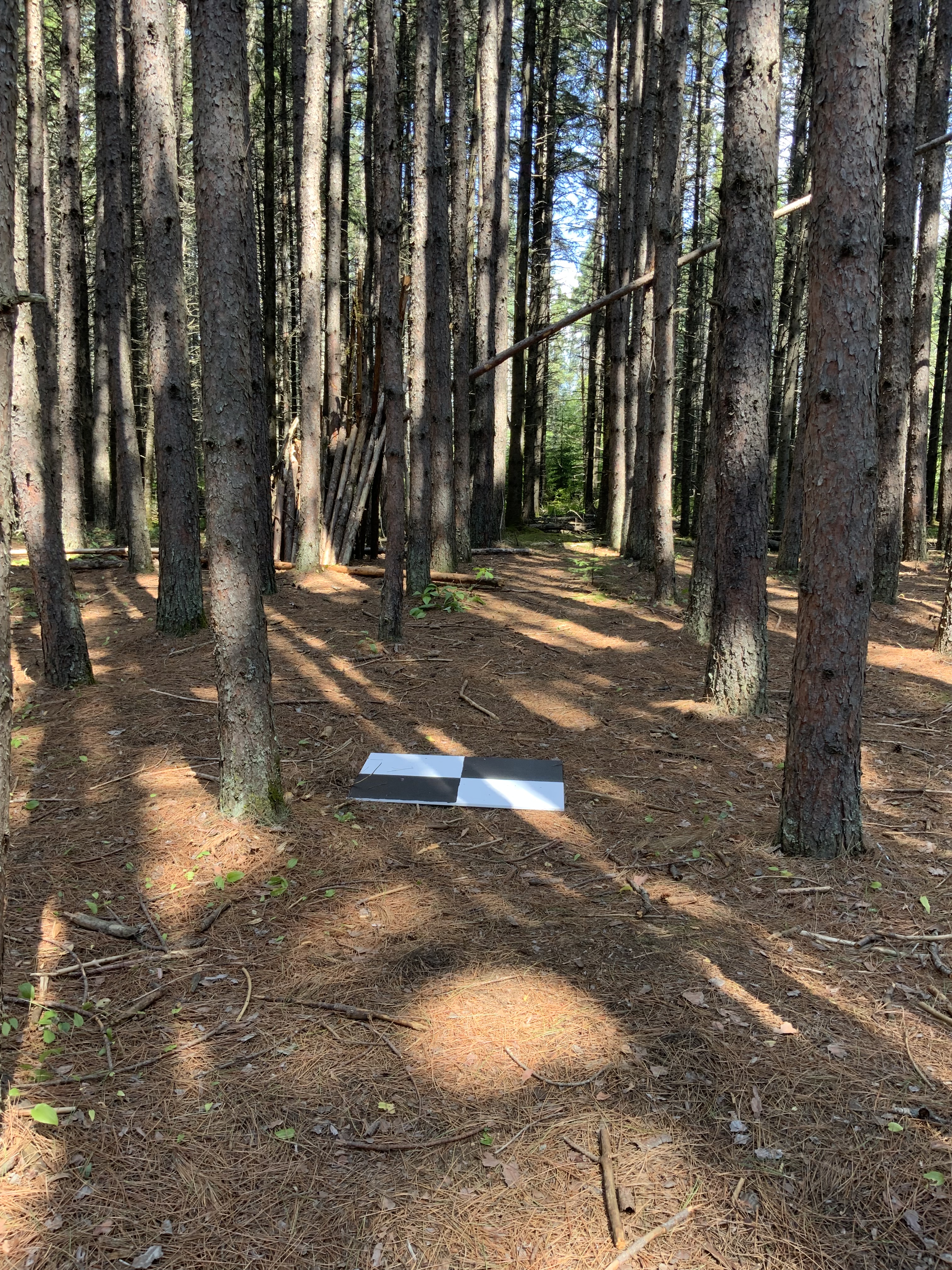
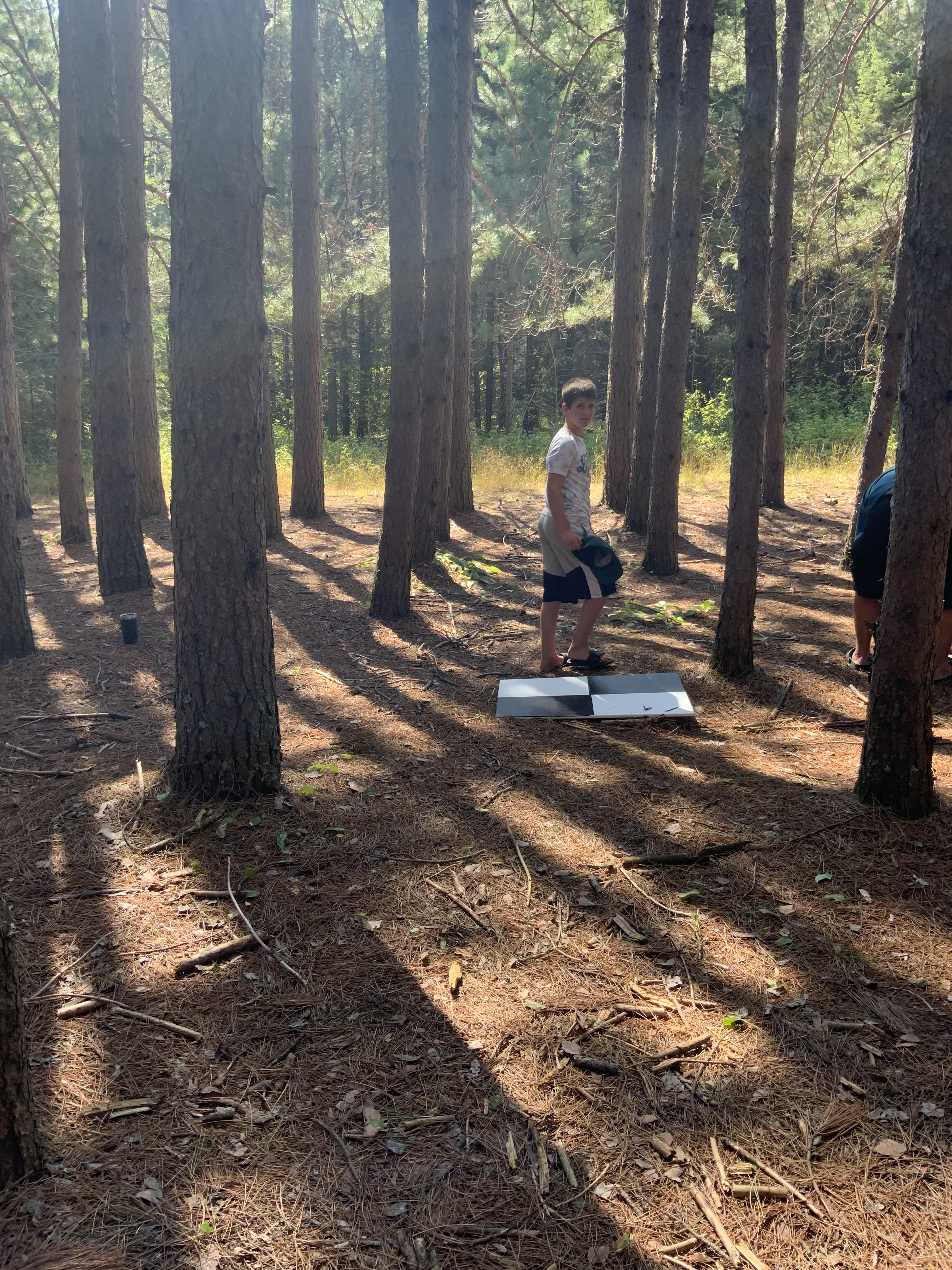
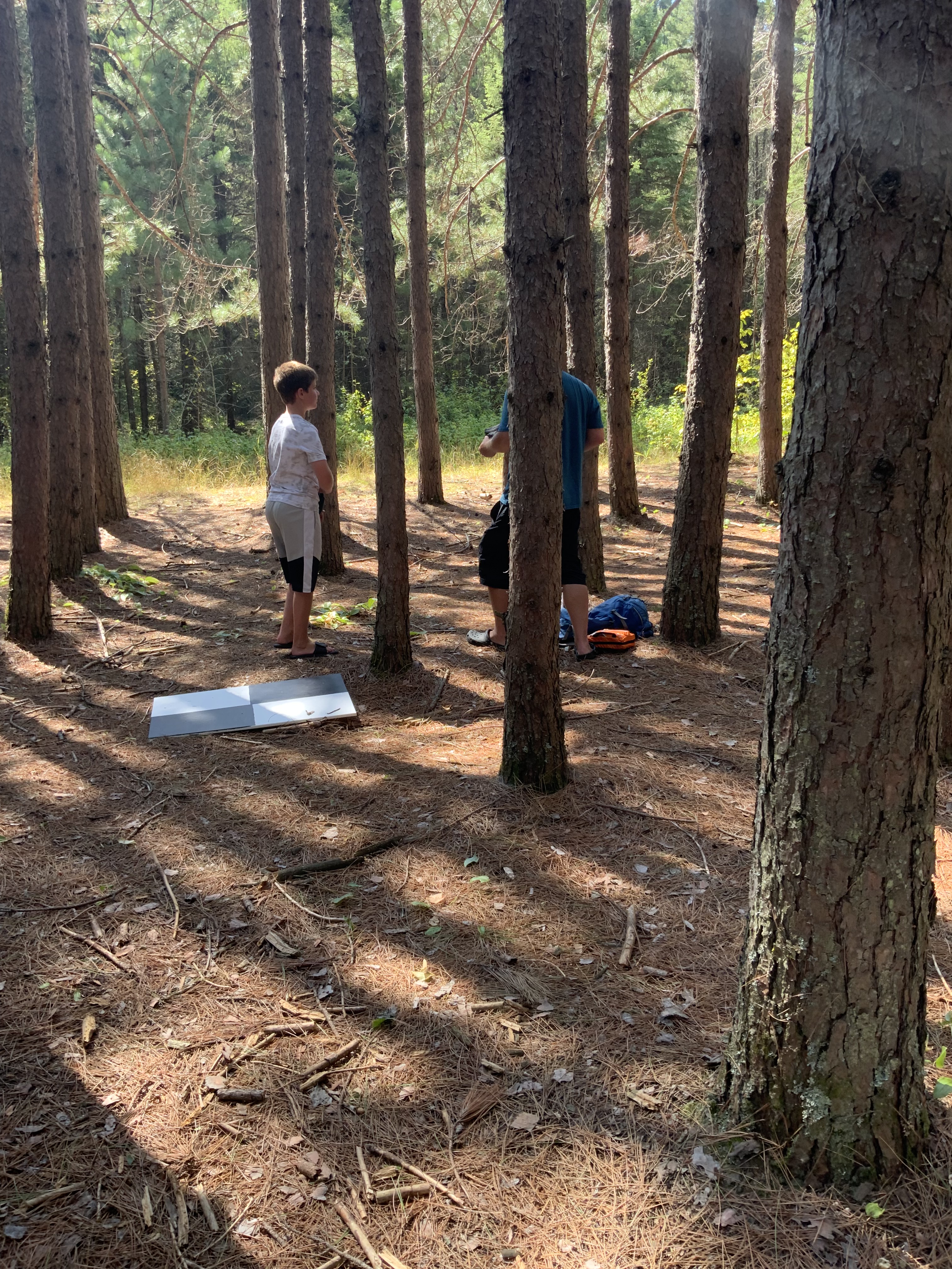
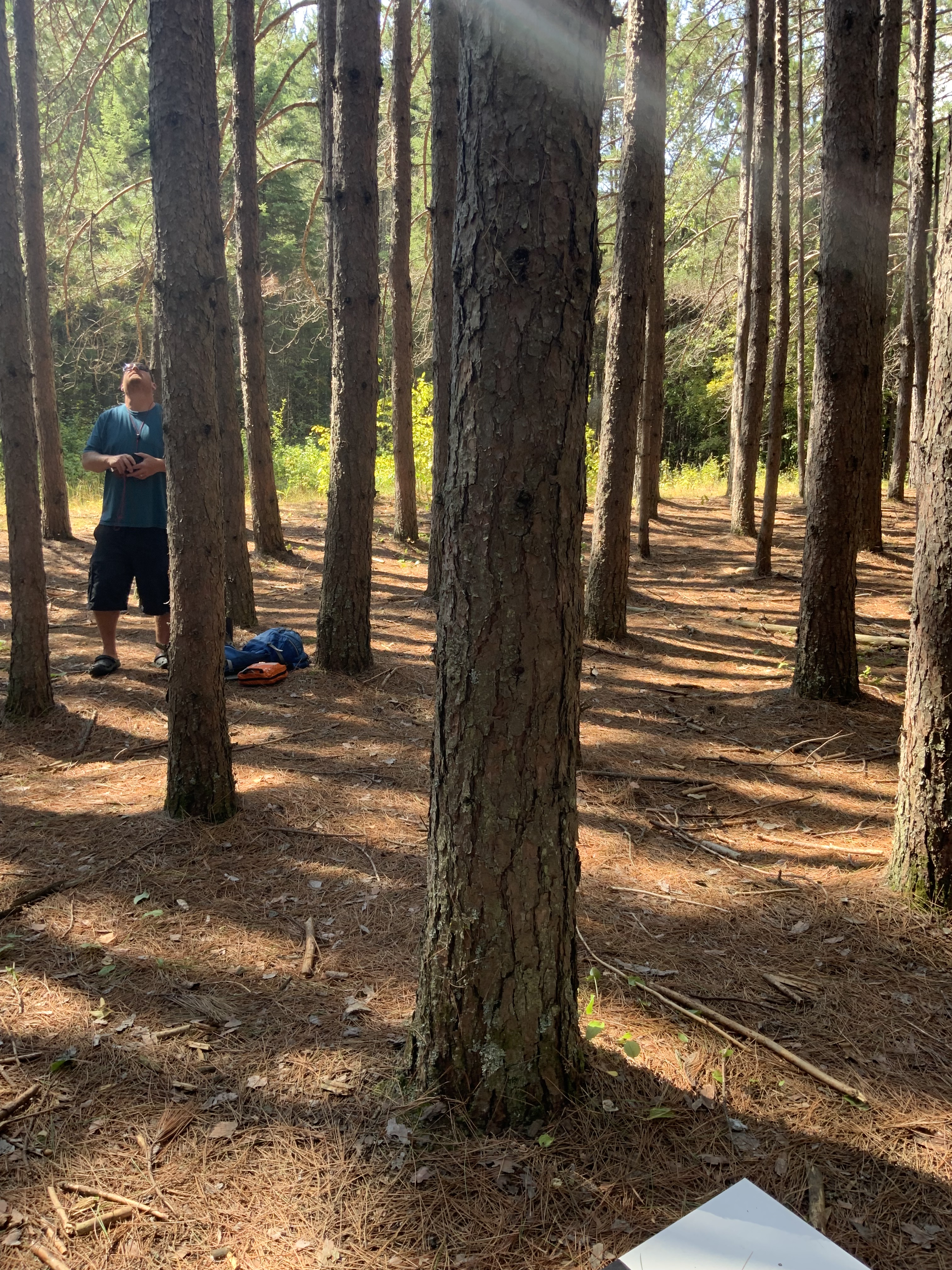
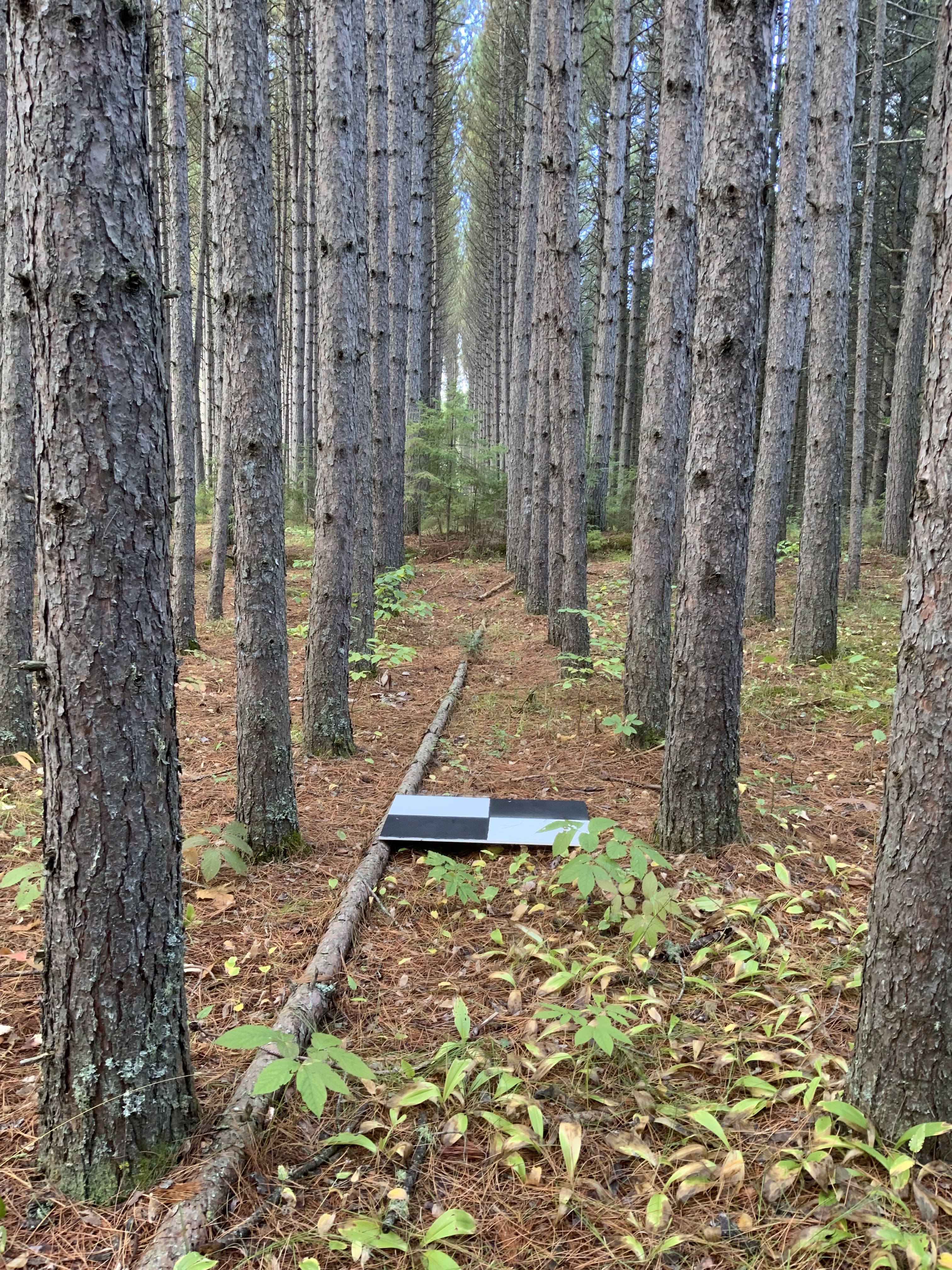
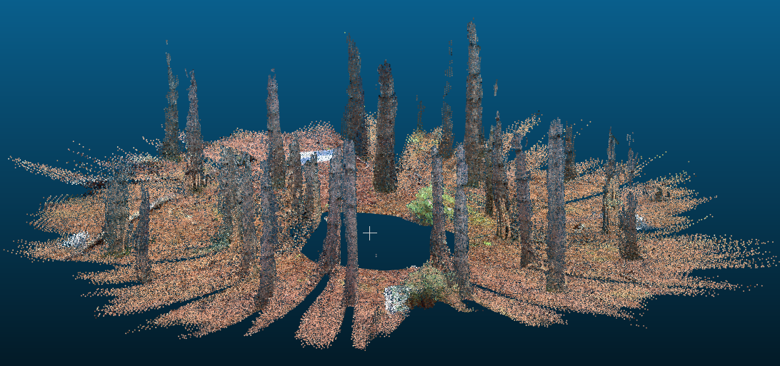
Discovering big opportunities at your finger tips: iPad LiDAR sensor to measure DBH
We scanned several forest plots with 5m radius. The results were very promising.
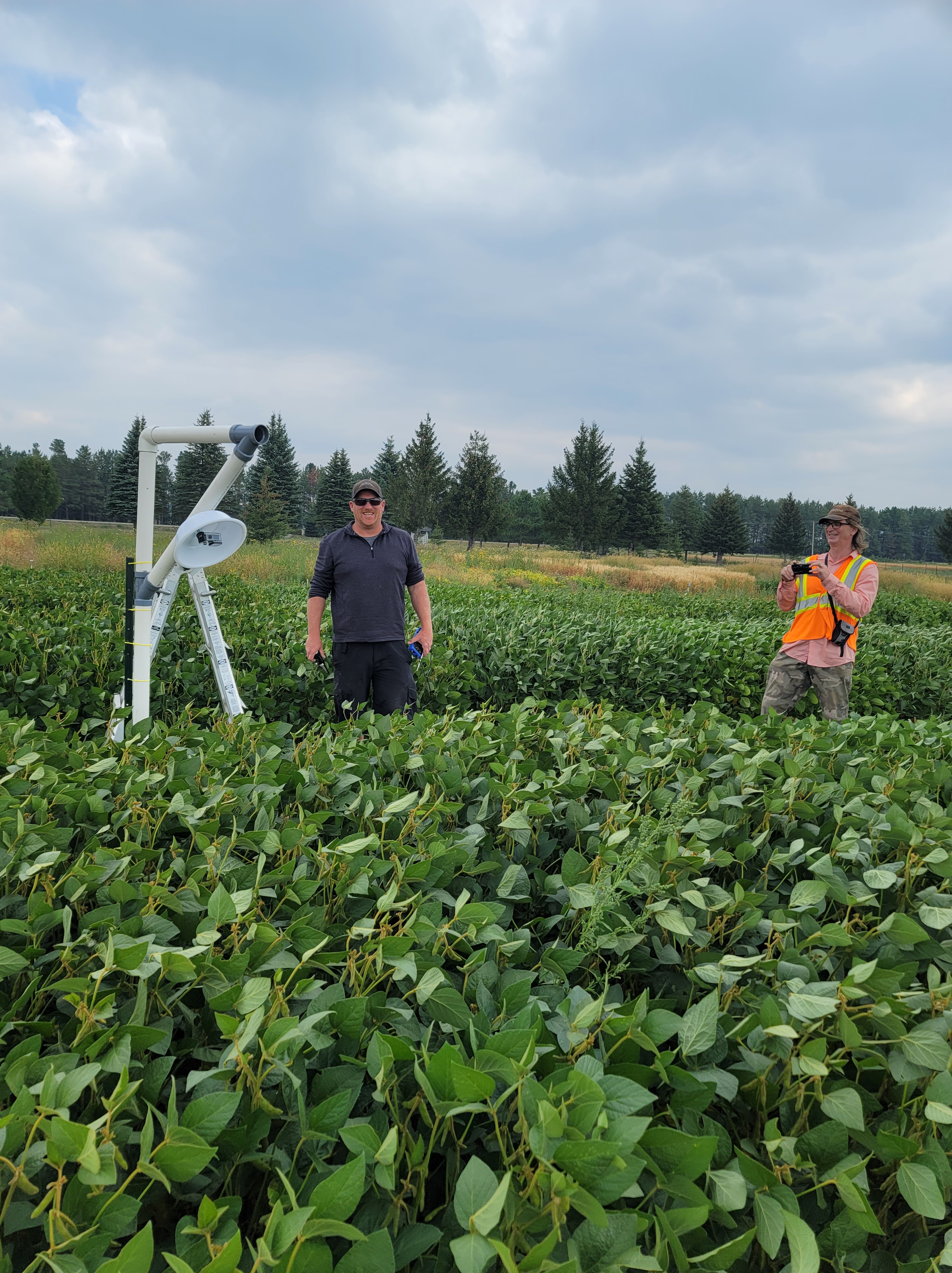
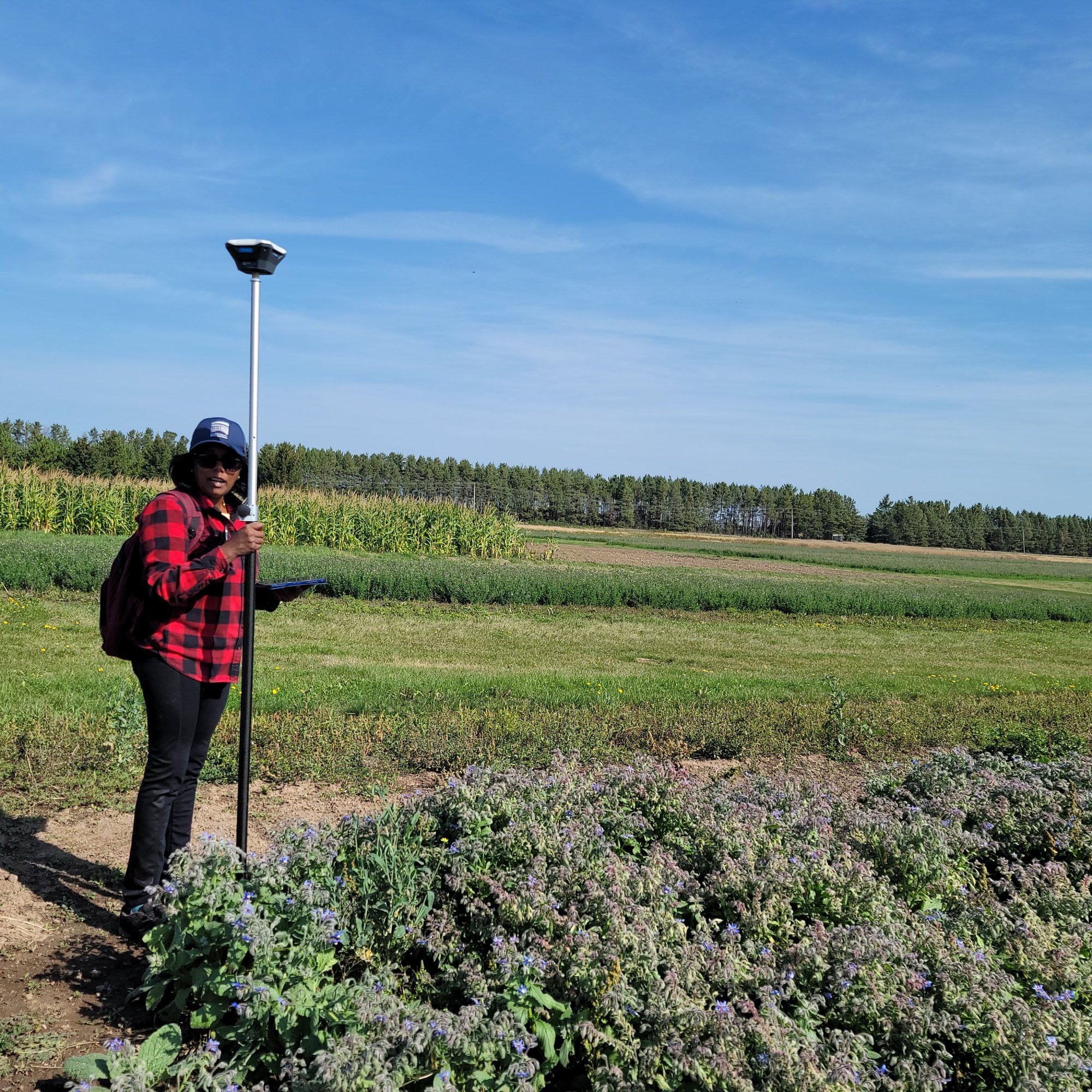
Flying at Lakehead Agriculture Research Station


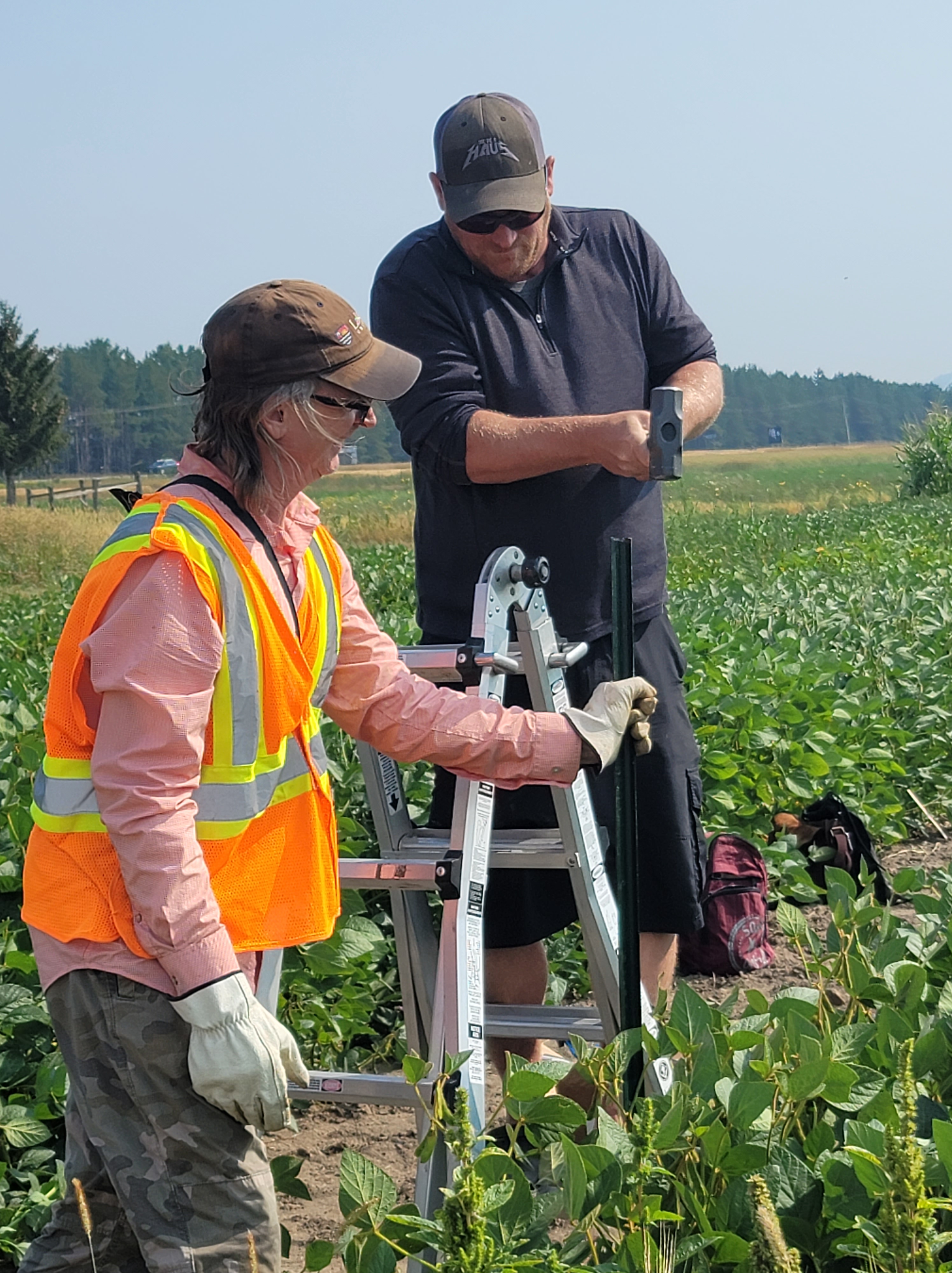
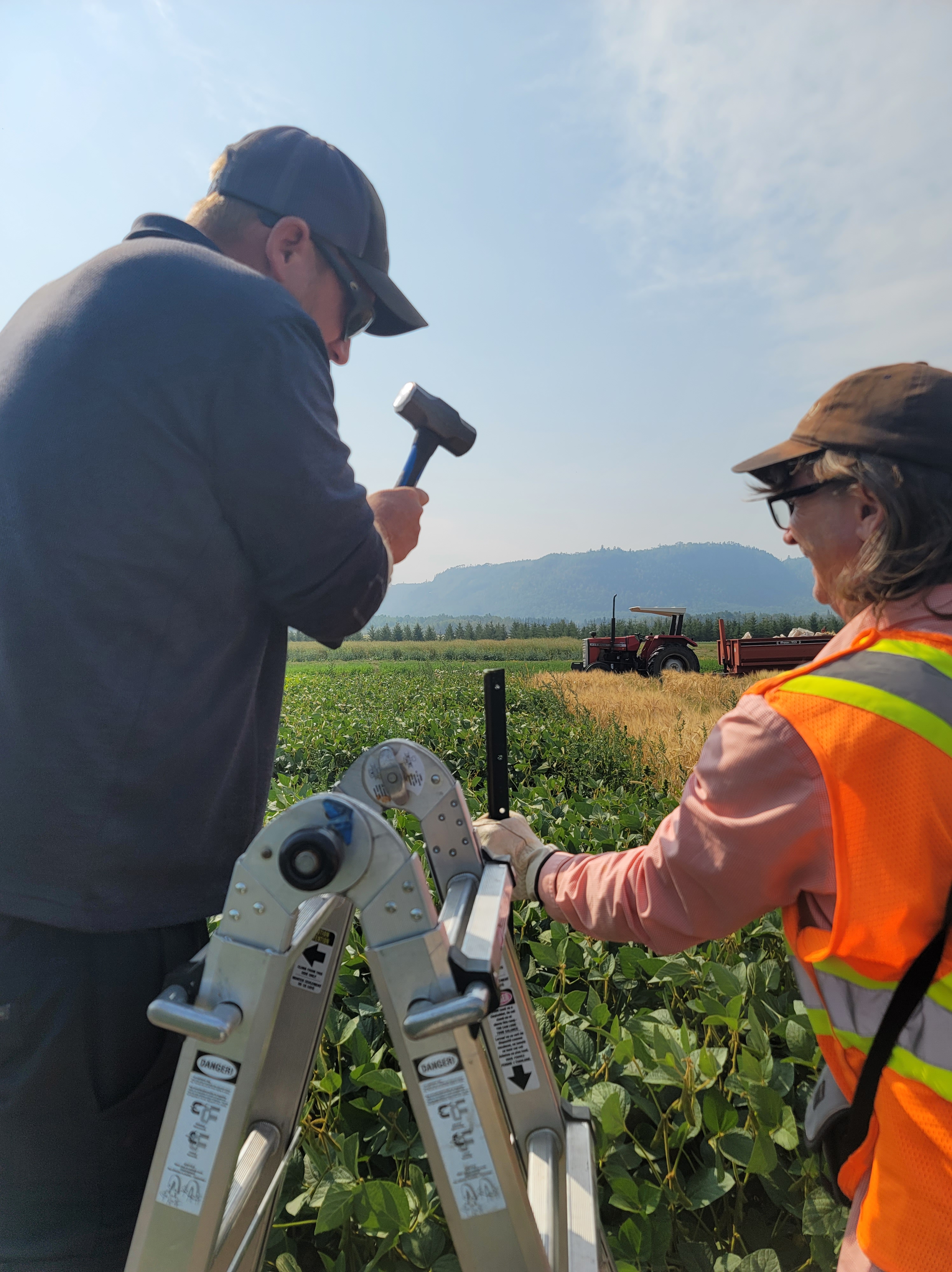
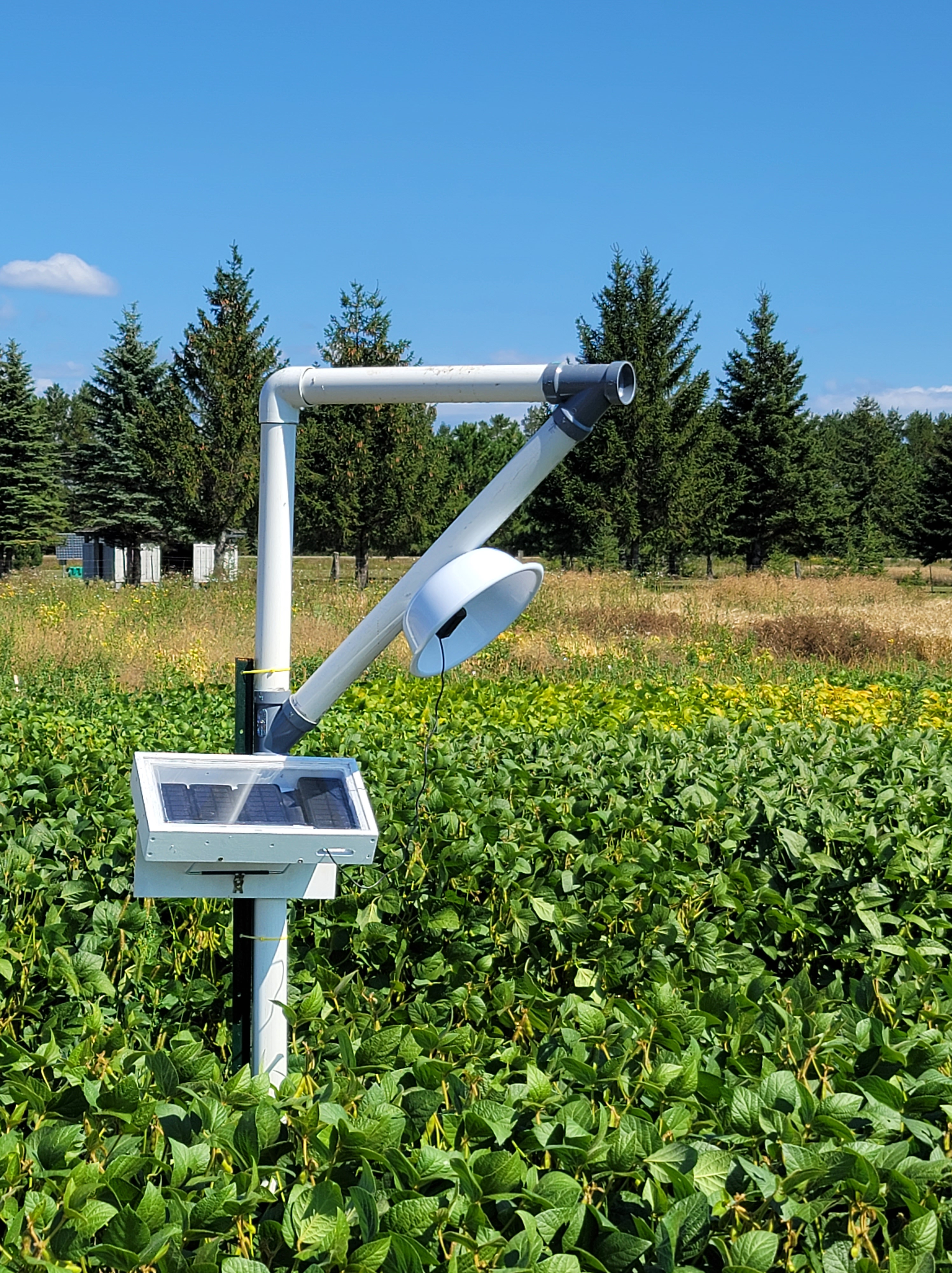
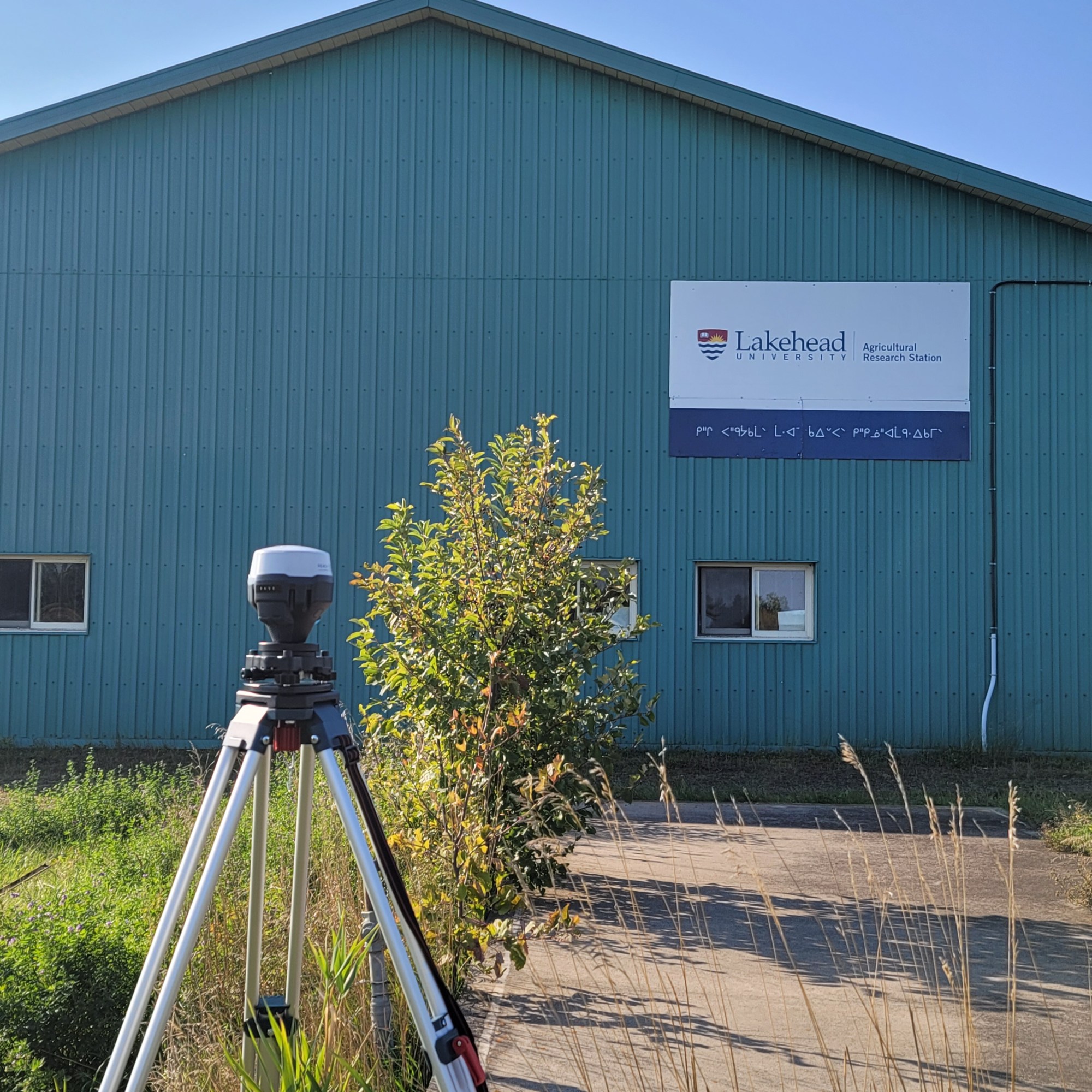
Advancing Precision Agronomy for Minimizing the Production Risk
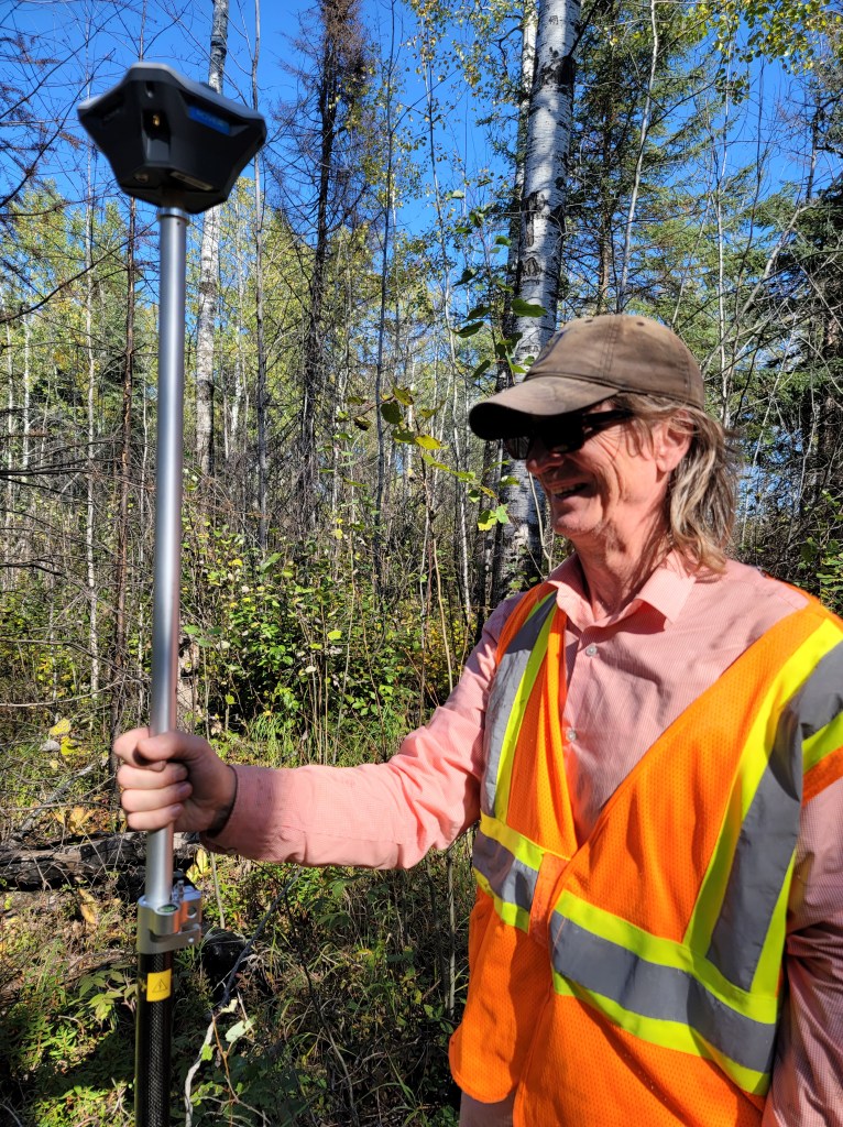
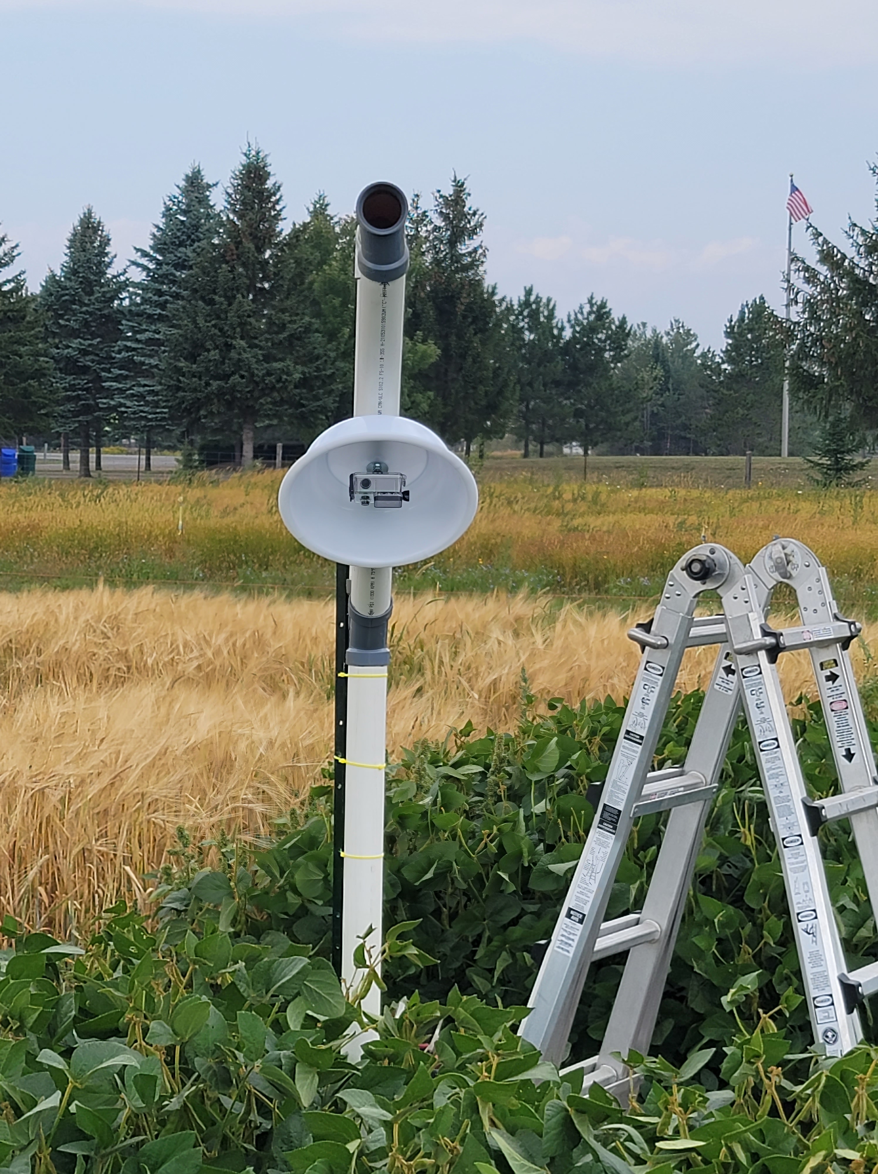
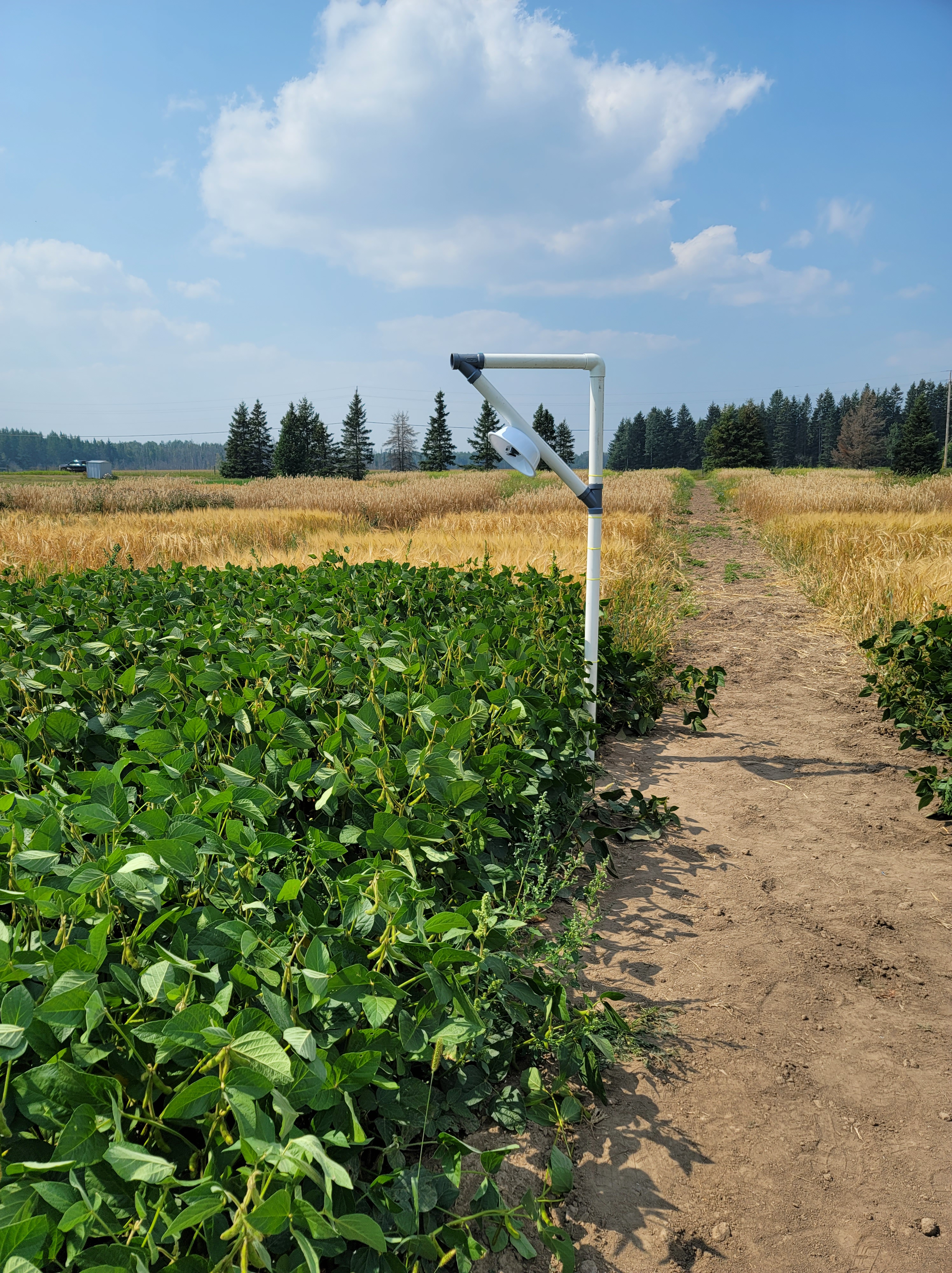
Setting up first field camera

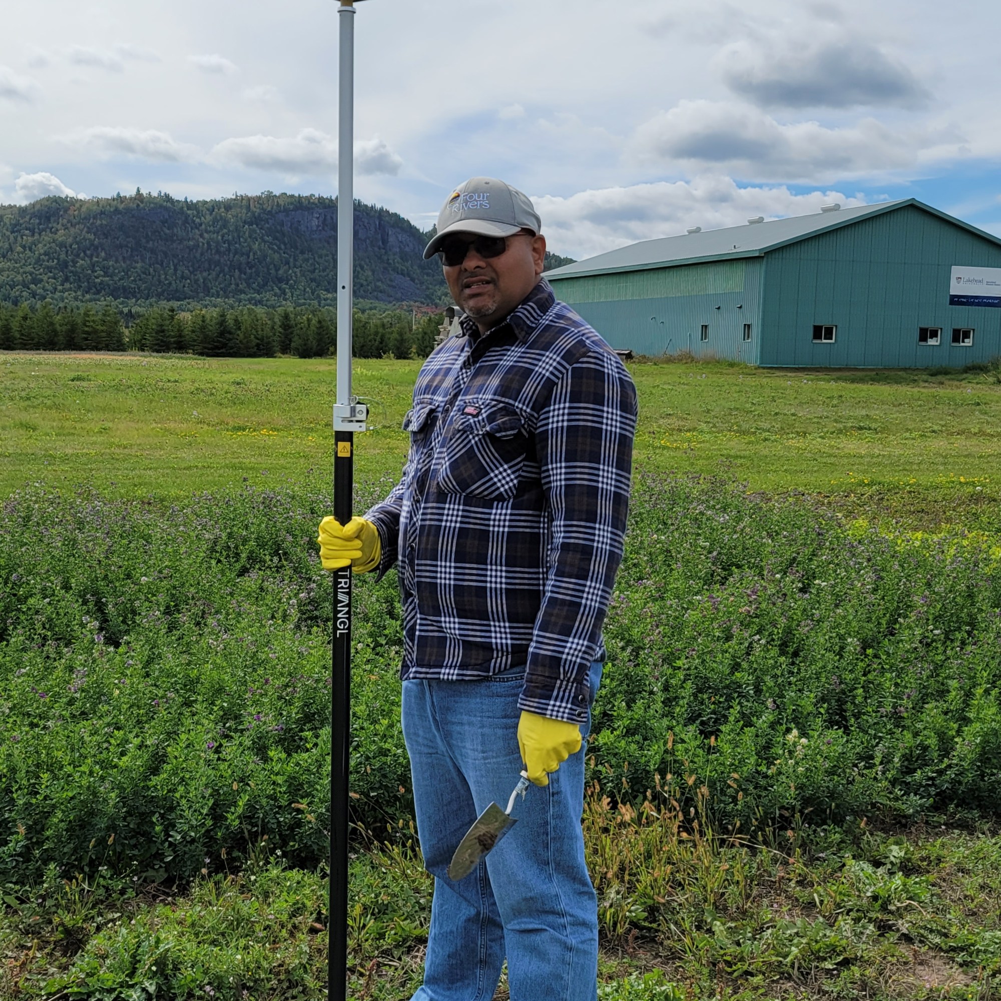
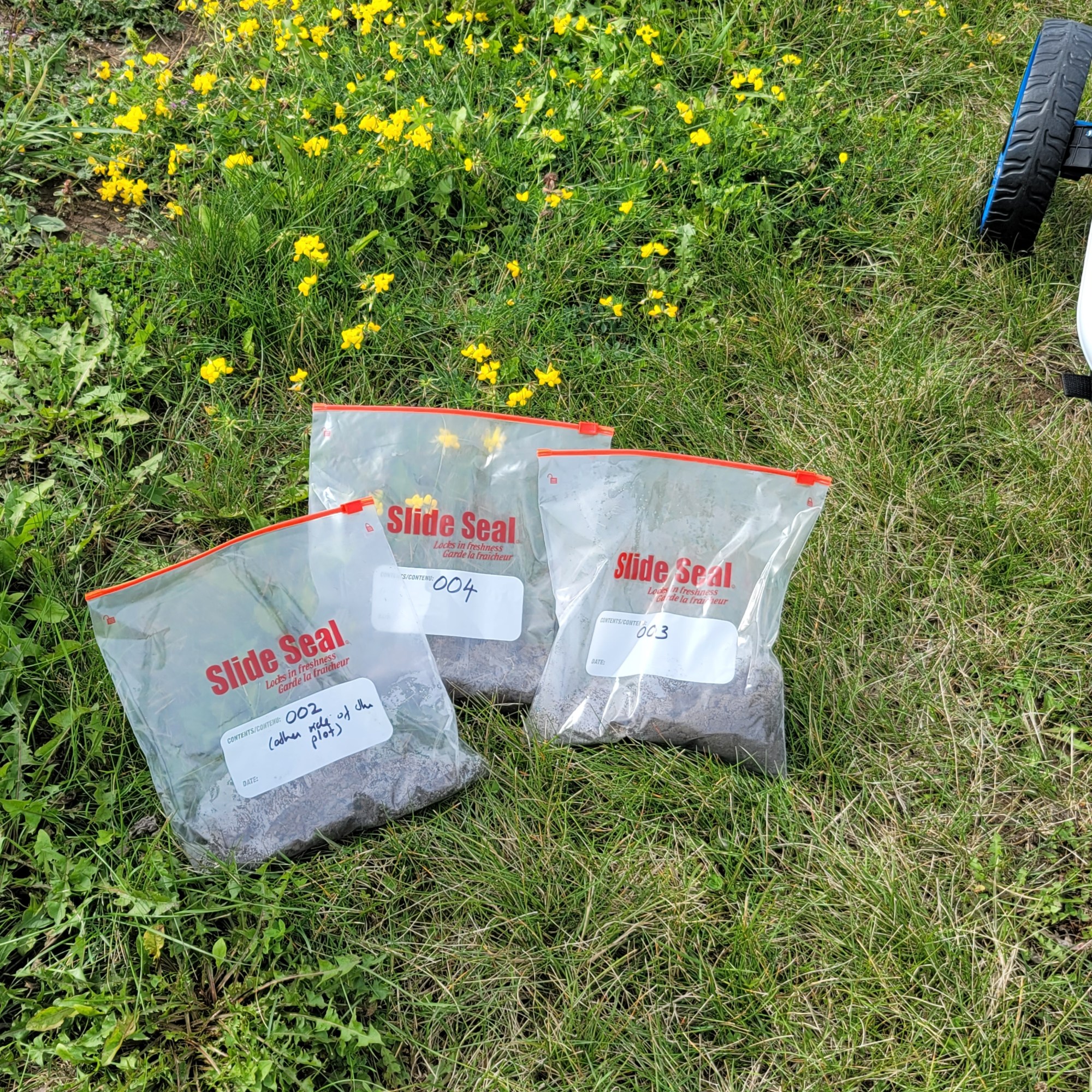
Collecting soil samples for Valeria
Valeria is planning to explore geostatistical approach for creating spatial distribution of soil properties at the Agriculture Research Station.
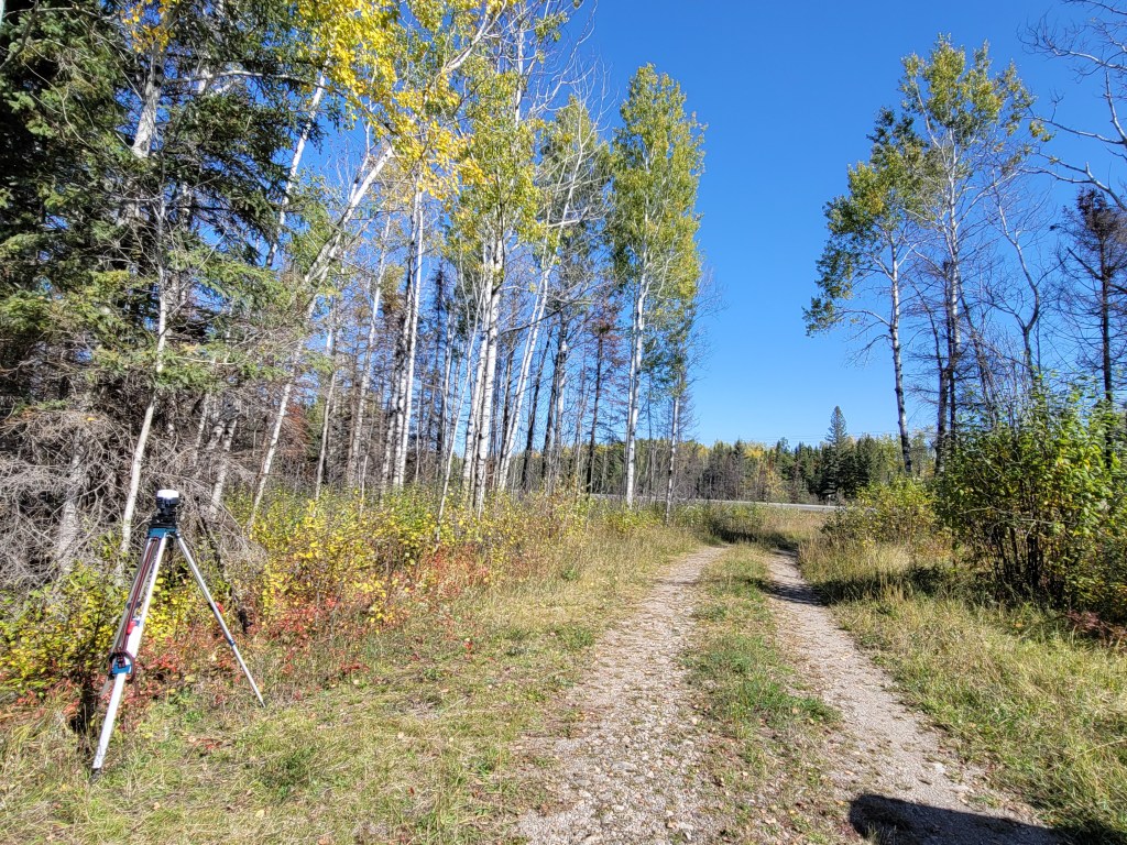
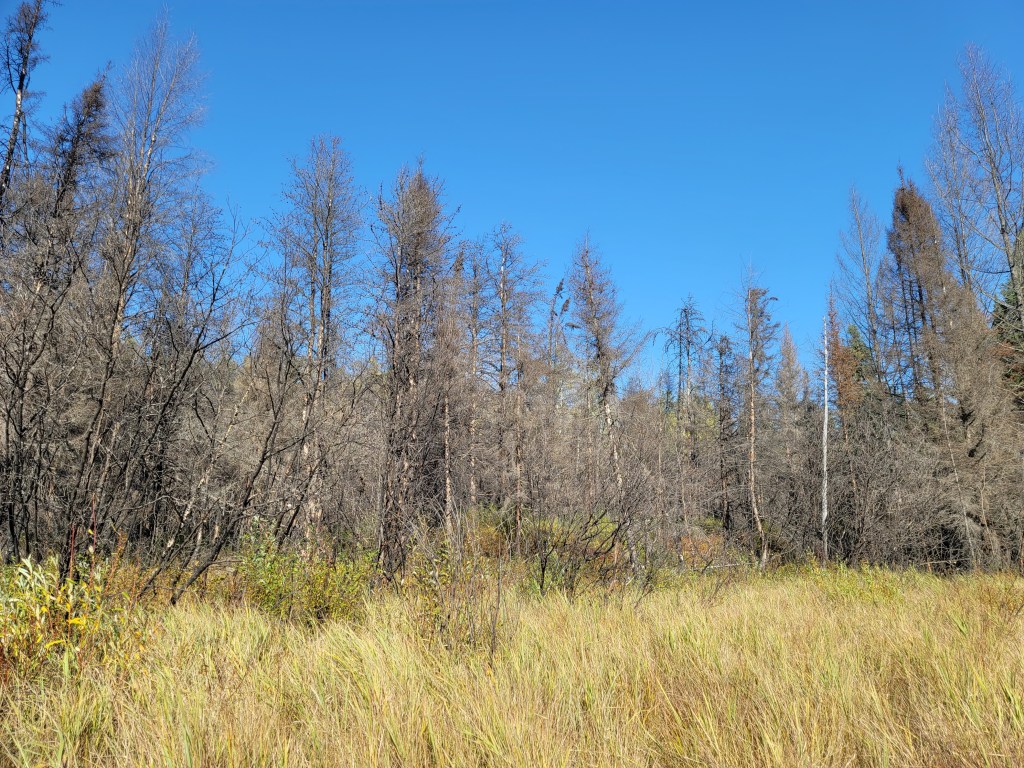
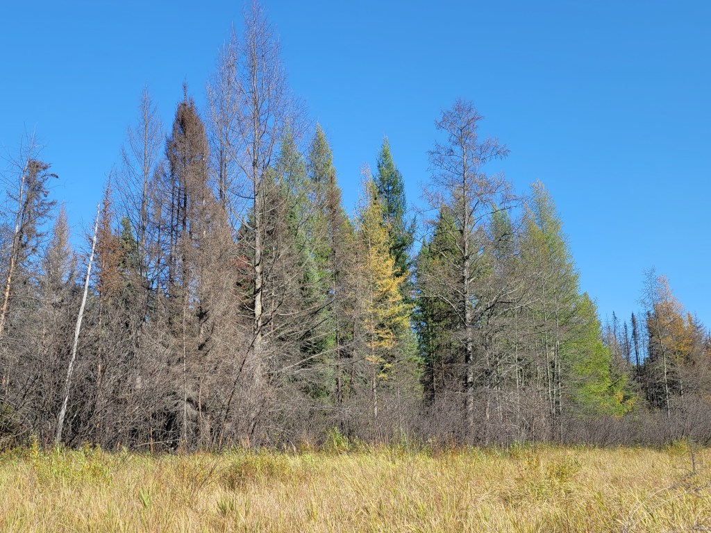
Post-fire Vegetation Recovery project (Darren)
We collected RPAS images near Shabaqua Corners forest fire in Sept. 2021