The laboratory is headed by Dr. Muditha Heenkenda. Her group consists of GIS Technicians, undergraduate and graduate students, and interns from a range of interdisciplinary backgrounds who are committed to developing innovative research in the areas of GIS, remote sensing, and spatial analysis that address pressing social and environmental issues in Canada and beyond.

Dr. Muditha Heenkenda
Muditha graduated with a PhD in Remote Sensing and Geographic Information Systems from Charles Darwin University, Darwin, Australia. Her research was focused on mapping mangrove species and biophysical variable using high spatial resolution remote sensing images. Although the environmental target varied from mangroves to other vegetation especially agriculture and forest fire, her common approach is to develop optimized models for rapid quantitative information extraction from remotely sensed images.
Research interests: Remotely sensed image processing; machine learning; deep learning; Remotely Piloted Aircraft Systems (RPAS); precision agriculture; forest fire; GIS; spatial analysis; web mapping.
Add a short bio.
Md. Samiul Alam
Master of Environmental Studies student
Revanth Yenugudhati
Master of Computer Science (project based) student (Graduated)
Past students

Valeria Campos
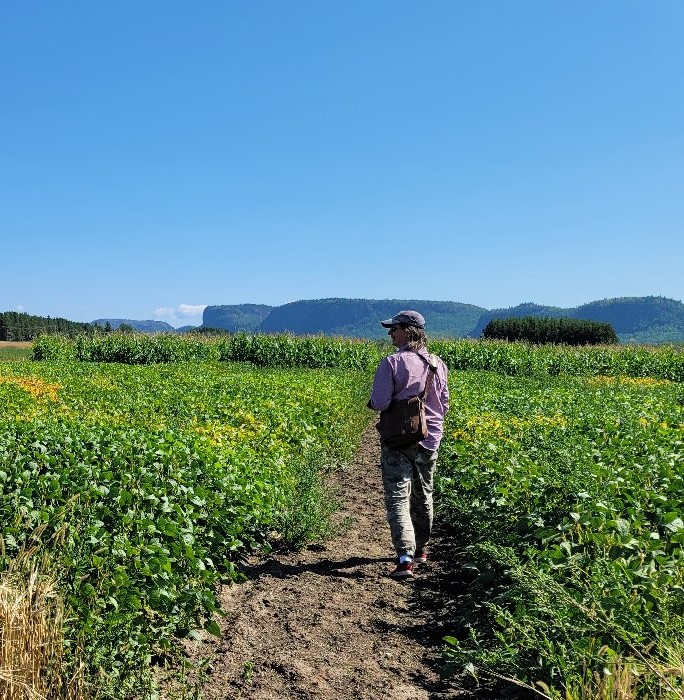
I am Valeria Campos Carrillo from Costa Rica. I joined Lakehead University as a Visiting Scholar under the Emerging Leaders of the Americas program. I am a final year student of the Agricultural Engineering program at Tecnologico de Costa Rica university. My thesis project is focused on determining the soil variations at the Agricultural Research Station, Thunder Bay ON using aerial images and field samples.
Precision agriculture is one of my career interests after graduating within a few months. I had assisted projects related to Geographic Information System (GIS) applying to Environmental Flow and Soil Conservation. Furthermore, I worked as an intern by using the Internet of Things (IoT) in agricultural projects.”
Wang Fangyi
Mitacs Globalink Research Intern
Wang Wang Fangyi is currently a senior student in College of Resources and Environment of Huazhong Agricultural University, Wuhan, China. She majors in Geographical Information Science. She received the Mitacs Globalink Research internship to study the feasibility of using iPad Pro LiDAR sensor to enhance Forest Resource Inventories at Lakehead University. Her research interests include GIS, remote sensing and geostatistics.
